The start or end of the Poetry walk depending which way you are walking.
There are some walks which exceed all expectations and this was one of them. Stemming back to the walk I led from Repton for the East Cheshire Ramblers earlier in the year, Steve Hull and I discussed a return visit to the area with thoughts of visiting Staunton Harold. I devised a walk starting out from nearby Melbourne and taking in also the village of Breedon on the Hill and walking through the grounds of Calke Abbey.

A cold air inversion as seen from the Cat & Fiddle. The Cheshire Plain is under all that cloud.
For once we chose a perfect day but we started out under murky conditions in Macclesfield. The drive towards Buxton headed up through a band of thick fog before suddenly bursting into bright sunshine under deep blue skies. We couldn’t resist a stop at the Cat & Fiddle to photograph the cold air inversion with the communications tower on Croker Hill ‘floating’ on the cloud.

Setting out beside the attractive mill pond at Melbourne.

The sluice at the mill pond, Melbourne
Parking at the attractive village of Melbourne we set out alongside the large mill pond with the village church as a backcloth and stopping to take a few photographs on this perfect early autumn morning with just that little chill in the air. Our first objective was to walk to the ancient hill top church at Breedon on the Hill and this involved a pleasant walk across undulating fields of heavy dew in the bright autumn sunshine. An ascent later followed joining the minor road to the hill top. Part of Breedon Hill has been eaten away by a quarry and the summit has an Iron Age hill fort and today dominating the summit is the fine ancient church. We stopped for our morning break in the churchyard as a volunteer was opening up the church for the day. We spent a little while looking around inside the church afterwards our volunteer gave us a potted history of the fascinating building. There has been a religious site here since the 7th century but the present church is Norman and Grade I listed. In its fabric is incorporated many fine Saxon carvings. Of note is the Breedon Angel, a carving which dates from probably the 6th century and is located in the bell ringing chamber and not normally open to the public. An exact replica of the carving has been made and is one view within the nave. It is probably the earliest representation of an angel in England and one of our finest surviving pre-Conquest sculptures. Also of note are the box pews and the large enclosed wooden box pew. This grand wooden structure in the north aisle is the Shirley pew, with its carvings and obelisks it dates to 1627 and was originally placed in the main part of the church. The Shirley family would have sat in ‘the box’ keeping themselves private from the ‘less important’ members of the congregation.

The ancient hill top church of St Mary & St Hardulph at Breedon on the Hill

The Breedon Angel. This is the replica of probably the earliest stone carving of Christ in Great Britain and dates from probably from the 6th century. The original carving is in the belfry.

The village green at Breedon on the Hill. The unusual war memorial was constructed in 1926.
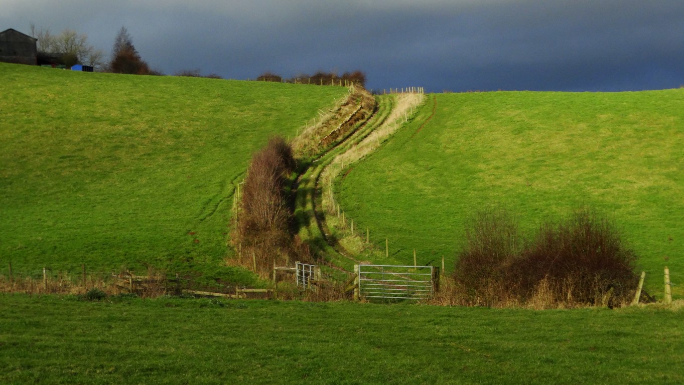
Steve and I now descended to the village of Breedon on the Hill. On the green we passed the War Memorial which is listed at Grade II. The Norman-style war memorial was constructed in 1926 and is of an unusual and unique design. We took a very good path west from the village through the newly constructed Breedon Priory Golf Course and later on a newly created field path towards Spring Wood. Through Spring Wood and beyond towards Staunton Harold we passed through several wooden squeeze stiles each with part of a quotation from a poem. Running north to south the quotations are by John Blunt and in the opposite direction the quotation are by Hilaire Belloc.
This link gives more details;- www.woodlandtrust.org/mediafile/100698669/permissive-footpath.pdf?cb=66e2c82c12c445879828aebb429ee07f
Entering the grounds we had a lovely view down to Staunton Harold Hall and a convenient seat in the sunshine made it an excellent spot to have lunch. We afterwards crossed the ornamental bridge to enter the grounds in front of the hall and took a closer look at the church which is now in the care of the National Trust but is closed except summer weekends.

A perfect spot to stop for lunch with this view to Staunton Harold Hall.

The grounds at Staunton Harold Hall with a view to the church.
Staunton Harold Church was built in 1653 by Sir Robert Shirley of Staunton Harold Hall, which stands beside the church, and it is a fascinating example of Stuart taste. Shirley, later 1st Earl of Ferrers, risked the displeasure of Cromwell and his allies by his open act of defiance in building the church. The church is unusual where gender separation is still in practice.
Staunton Harold Hall is set in a 2000 acre estate and its history goes back some 500 years. The Shirley family have had a chequered history, with several reversals of fortune. Sir Robert Shirley was an ardent royalist, and built the church here in defiance of Cromwell. He was imprisoned six times, and died in the Tower of London, aged 27. From exile in France the future Charles the Second wrote to his widow, promising redress in better times and, true to his word, restored the family’s fortunes. They became Earls Ferrers under Queen Anne. In 1760 the Fourth Earl Ferrers, a dissolute rake, shot and killed his steward, John Johnson. For this he was tried by his peers in the House of Lords and condemned to death and was the last peer to be hanged. In more recent times the house was put up for auction with plans to demolish it but it was thankfully rescued by Leonard Cheshire to become a Cheshire Home. The house is now privately owned.

Time for a locally made ice cream at the Ferrers Centre, Staunton Harold.
Steve and I stopped for a locally made ice cream at the courtyard of the Ferrers Centre before pressing on along a field path to Heath End and later passing through the wooded nature reserve at Dimminsdale. After a little road walking we entered the grounds of Calke Abbey and passing the church en route towards Calke Abbey itself. We continued through the grounds and walked beside Mere Pond before taking the path around and above Staunton Harold Reservoir. The reservoir was built in 1964 to serve Leicester and the towns of northern Leicestershire. Although no villages were lost in the construction of the reservoir, Furnace Farm, New England Farm and Calke Mill were submerged and their remains lie 25 metres below the surface. We followed the B587 for a short distance before following another field path to Melbourne and back to the car.
Melbourne is just an hour and a half drive from Macclesfield and this walk is full of fascinating history. I would be happy to lead it for our group as a summer walk and could arrange a car share for anyone not wishing to drive there. Please E-mail if you have any comments.