Win Hill as seen from Bradwell Moor before the weather closed in.
By Sue Thersby.
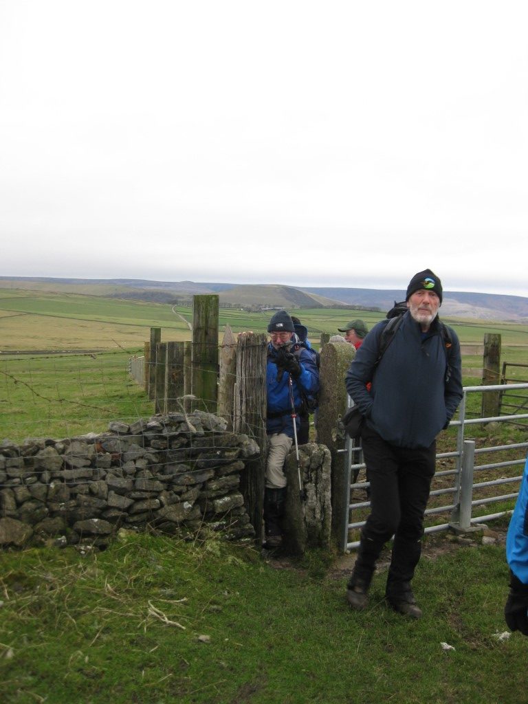
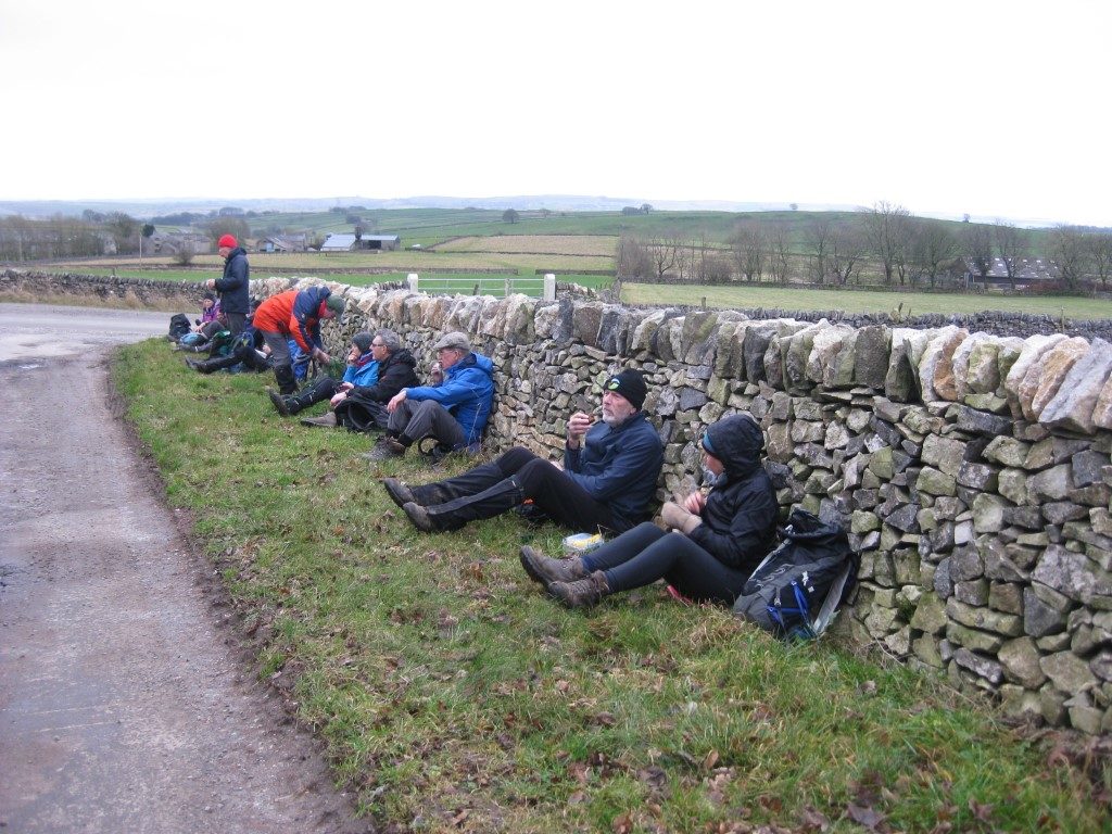
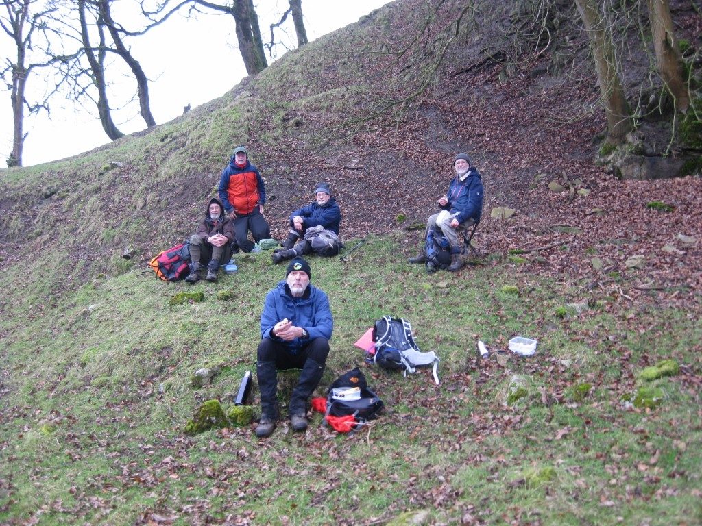
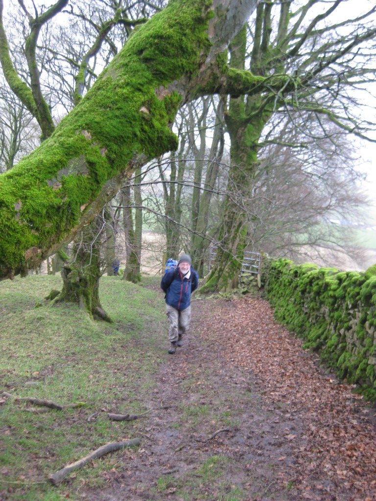
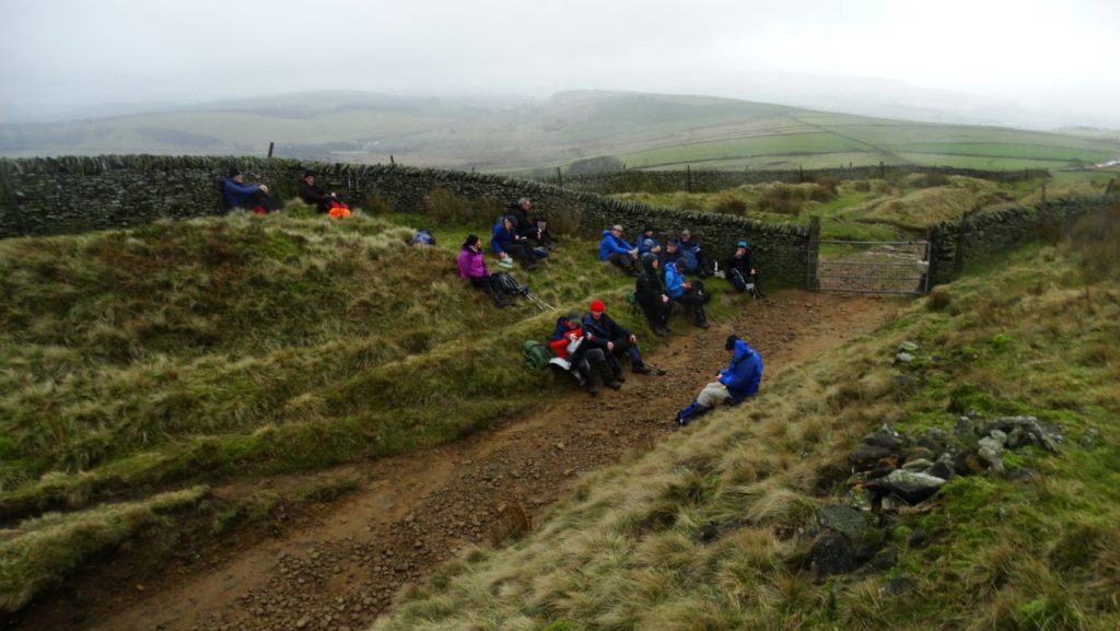
The forecast was not good, however 16 brave ECR ramblers set out from Mam Nick, the break in the ridge walk from the bottom of Rushup Edge to Win Hill. Unusually, we did not go along the ridge but started off in a southerly direction to cross the aptly named Windy Knoll. On reaching the junction of the Limestone Way and another footpath our route took us along the footpath over the western edge of Bradwell Moor. Continuing in the same direction, we crossed Batham Gate which is the site of a Roman road. It is believed that it ran south-west from Templeborough on the River Don in South Yorkshire to Brough-on Noe and the spa town of Buxton. The name means “the road to the bath town”. On reaching Pittlesmere Lane, we changed direction to go along this lane in a roughly easterly direction, before reaching our next footpath sign to take us northwards, through field paths across Tideswell Moor to cross Batham Gate again. The area is well known for its lead mining history and the OS map shows remnants of old mines across both Bradwell and Tideswell Moor. Crossing the Limestone way by a farm marked on the map as The Cop, we went via north-westerly paths to Oxlow Rake. Workings on this rake have been documented from at least 1709 when it is recorded that `John Bradley’s Grove on Oxlow was in production’. However, another branch of Oxlow Rake, known as Daisy or Deasy Rake was recorded on the Castleton enclosure map of 1691 suggesting that lead working in this area started before this date. At the end of the rake, we arrived at a small settlement called Old Dam and then picked up the Pennine Bridleway as far as our second rake – Gautries Rake. This was our lunch spot before we climbed up and through the rake. It is said to be an extremely well-preserved example of a linear sequence of lead mine workings. From here, we passed through Sparrowpit, another small settlement, and continued uphill to take a route above the valley to reach the lay by at the western end of Rushup Edge. We finished our walk by climbing gradually along the edge with views of the Edale Valley to our north and some of our route to the south, passing the highest point of the ridge Lord’s Seat at 550 m (1,804 ft) on our way.
Additional notes from Colin Park
Did you know how Sparrowpit got its name? It is not an earth pit where you might find some of our featured friends so I decided to look it up and the name derives from ‘spar row pit’ from the fluorspar mines nearby. My search for information led me on to another unusual name in the village. The local public house is called ‘The Wanted Inn’ but why? Again I decided to research the origins of the name and the explanation is as follows;-
The public house started out its history as a farm house over four hundred years ago and in 1700 was converted to a pub and named The Three Tuns. In 1839 it was renamed as The Devonshire Arms and was then part of the Chatsworth Estate. A decision was made in 1950 to sell the pub to raise money for death duties but during the auction there was no one interested in the property so it remained empty for some years until it was eventually sold to new owners who decided to re-christen the unwanted pub to the Wanted Inn.
On Sue’s walk did anyone notice the water trough as we walked through Sparrowpit? This is called Bennet’s Well as is unusual as it lies on the watershed of England. Water from the well runs west via a series of streams and eventually enters the River Mersey which in turn flows into the Irish Sea whilst rain falling on the eastern side of the village street eventually makes its way via the River Wye and River Derwent to reach the River Trent then into the River Humber and finally into the North Sea.