Over the past couple of years I have been nibbling away at walking The Shakespeare’s Avon Way which runs 92 miles between Tewkesbury in Gloucestershire and Naseby in Northamptonshire.
With this trail being very much a riverside path I have for the time being had to put walking further sections of it on hold as much of it is now under water. My next trail I had planned to walk is the 42 mile long Winchcombe Way which does a figure of eight loop radiating out from the large Cotswold village of Winchcombe and so earlier this month I brought the first walk forward and set out on the initial walk of four planned walks to cover the northern part first.
I had planned to park in the small village of Buckland just south of Broadway but with neat verges and narrow village lanes there was probably nowhere really suitable. The same applied to the next village of Laverton but I was lucky in Stanton where I found a designated car park next to the village hall. The car park was empty as it was only 8.30am when I set off on this rather cold morning with the sunshine not yet up over the Cotswold escarpment.
I opted to walk south first as I had walked this section northbound before as it concurs with the Cotswold Way which I had walked twice. With a heavy footfall, the path towards Stanway proved very muddy and not far out of Stanton the path was near on impassable as it ran between hedges and like many other walkers who had passed this way previously, it was far easier to walk in the adjacent field. Later, where the path crossed fields, the walking was much easier as I neared the deserted village of Stanway. The historic Stanway House was well hidden from view but the ornate gatehouse was impressive and dates from around 1630. Stanway House is of a similar age. In the village I passed Stanway Mill which started out life as a corn mill and later converted to a saw mill and dates from the 17th and 18th century. The building is occasionally open to the public.
I crossed the B4077 next, and continued via a field path to Wood Stanway. The walking underfoot was a bit better here but there was now a rainbow appeared to the west with a light shower approaching but from the weather forecast, it was supposed to be a dry day. In Wood Stanway I left the Winchcombe Way and turned left up through the deserted village with little sign of life. At the top end of the village the path was signed through a farm yard which now presented a problem as the yard was packed with heifers. There seemed no easy way to avoid these beasts and with my walking pole at the ready, I scaled a high metal gate to walk through the yard. The heifers thankfully were quite docile and backed off as I squeezed through. At the end of the yard I crossed another metal gate before setting out on the long gradual ascent across fields. The path led up to Stump Cross and at the Cotswold Escarpment I found a seat for my morning break. As I gained height, an icy westerly wind had picked up but at least this north facing seat had some shelter.
To reach the village of Ford, I headed north with the aim of joining a path running parallel to the lane. The path was quite overgrown and so lane walking was a far better alternative. Heading east I took a path along the northern edge of a gravel pit to reach Carey’s Covert. Red Kites were circling overhead as I skirted the eastern side of the covert. I later joined a lane south before following a short section of the B4077 into Ford which wasn’t that pleasant as it was narrow with no verges.
From Ford, I rejoined the Winchcombe Way and would stay with the trail all the way back to Stanton. Heading north, I took a pleasant field path to Cutsdean and soon caught up a small group of walkers who turned out to be on a HF walking holiday based at nearby Bourton on the Water.. We chatted before I soon pressed on as their pace was quite slow. North of Cutsdean I took a path to the next village of Taddington and here I turned left to follow a field boundary to reach another lane. I was aiming towards the attractive village of Snowshill and pressed on north on a lane then track and for now the day was quite pleasant. I wanted to bag a trig point which lay just off the path. Access was quite easy via a track but the trig point was quite camouflaged. Back on the main track I soon turned right across a field then followed a lane into Snowshill. I now looked for a suitable place to have lunch and after a wander around the centre of the village I found a seat by the village hall but like everywhere else in the village it was a cold spot and with another shower heading in from the west I didn’t stop long for lunch. Snowshill lies high up in the Cotswold Hills and faces northwest with higher ground to the east and south. It is quite a cold spot so you don’t need much imagination to see how it got its name.

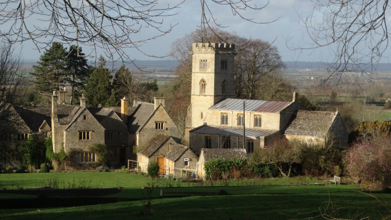
A view from my lunch stop in Snowshill. What the photograph doesn’t show is the bitter wind blowing. Time to move on.
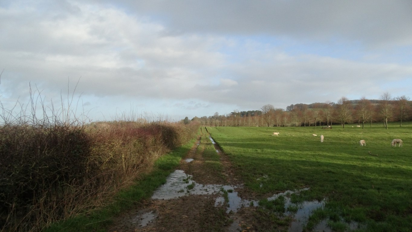
I soon headed north along the lane with spots of rain falling. To my left was Snowshill Manor which is now in the care of the National Trust. As I turned left off the road to descend on a field path it rained heavily for a couple of minutes and I was soon rewarded with a vivid rainbow as the sunshine returned. A walker coming the other way remarked that the path ahead was extremely muddy and indeed this was no understatement. Liquid mud which was also very slippery covered the path up the slope opposite. Aided with my walking pole I was just glad that I was going uphill instead of downhill.
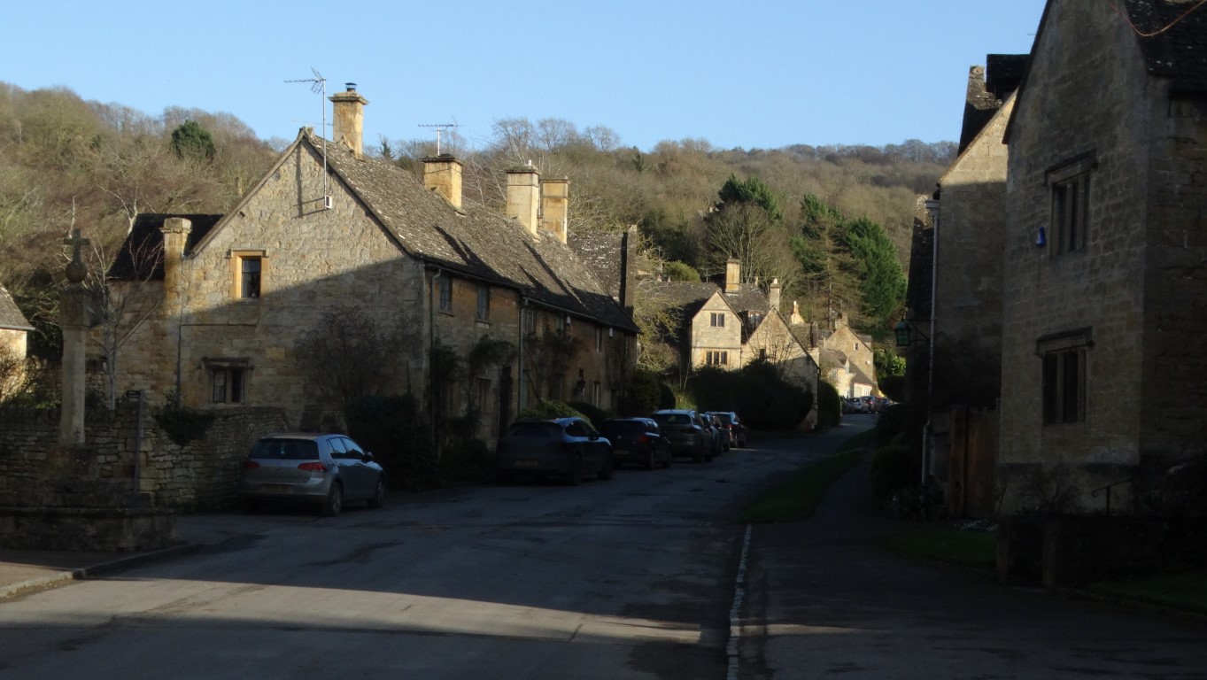
The track running north towards Buckland Wood was also very muddy with water filled ruts. To reach Buckland I descended across several fields and with some longer grassy areas I was able to clean off my very muddy boots which were now caked with sticky Cotswold clay. I joined a lane through Buckland then followed a good surfaced path south to Laverton. In the village I turned left uphill before taking a field path towards Stanton taking care not to get my boots muddy once more. Finally I headed down through the attractive village of Stanton to reach the car. It had been a fine walk on one of those better days this year.


