When I first had an idea of walk from Manchester to Bolton via the Irwell Valley I was a little bit dubious. Picking the right route which took me through the best bits needed some research and one or two parts didn’t have the best reputation but as we shall see, this turned out to be a really enjoyable walk.
It’s a fine autumn weekday morning with the feel that winter is not too far away and I am leaving early to catch the very overcrowded 8.02am train from Macclesfield to Manchester Piccadilly. How glad I am that I don’t have to commute every day. Twenty five minutes stood crammed into an aisle in a railway carriage pressed up against strangers who are engrossed in ‘The Metro’ or their mobile phone isn’t the way I like to travel.
I am glad to leave Piccadilly Station and march up through the centre of Manchester ‘pushed along’ with the commuters many of which are still glued to their mobile phones and are eager to get to their workplace. I briefly pause at Piccadilly Gardens which has more than its fair share of ‘cardboard box folk’ who are not going anywhere, before continuing my walk via Market Street and St Mary’s Gate then crossing the River Irwell into the much quieter Metropolitan Borough of Salford. I now have the pavements virtually to myself. Manchester had changed since the days of my work with tower cranes everywhere and yet I once felt quite at home in this environment.
In Salford, I continue on the Blackfriars Road to reach the nearside of Broughton Bridge where I turn left to join the Salford Trail, a 53 mile walking trail around the borough and stay with this along to the Adelphi Footbridge. I cross this and continue through a small housing estate to cross the River Irwell yet again. Heading north, I stay by the river and through the attractive Peel Park. Salford is looking up in my books. I stay with the western bank of the River Irwell up to Wallness Bridge where I have to cross briefly to the eastern bank for a couple of hundred yards before re-crossing at the next footbridge back to the western bank. Later I have to cross the busy Cromwell Road and afterwards I am pleased to see that I can stay by the river bank rather than trek through a housing estate to the west as my map indicates. The River Irwell now makes a big loop and the area has been landscaped into a large parkland with a low lying area forming some ponds and a wildlife haven. This area was once the site of the Manchester Racecourse. Horse racing was first recorded here in 1647 and over the centuries it was intermittently used as a racecourse until 1963.
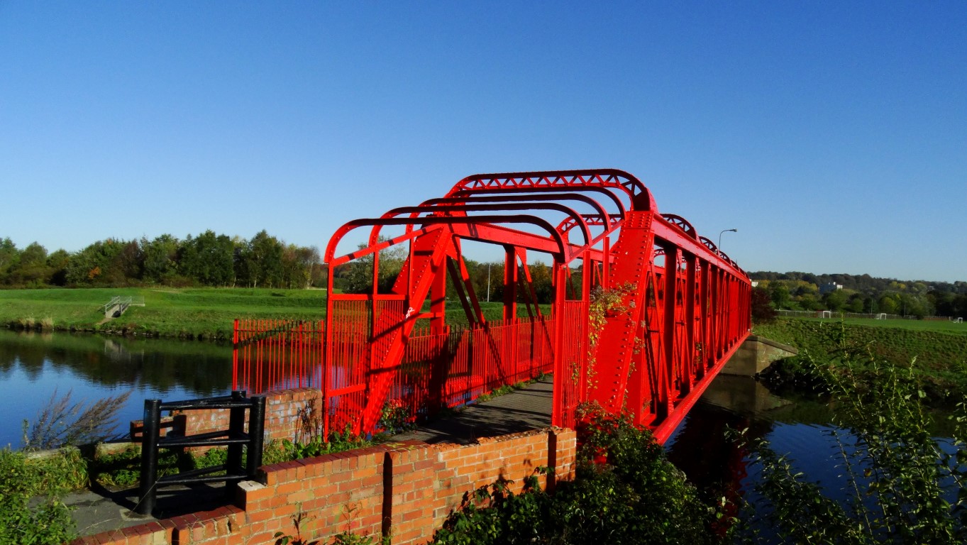
This section makes for some pleasant walking with the last of the morning mist over the river now burning off. To the southeast, is the hazy outline of Manchester City Centre with an array of tower cranes and new buildings. I note that Beetham’s Tower is no longer the tallest building in Manchester as the Deansgate Square South Tower had now reached its full height of 201 metres which from my later research means it is 32 metres higher than Beetham’s Tower. I cross the River Irwell yet again via a freshly painted green footbridge and soon skirt through Lower Kersal. I recall visiting this area many years ago to witness several high rise flats being demolished in a controlled explosion. Joining a path I reach a brightly painted red footbridge and again cross the River Irwell and take a path up the western bank. The autumn colours are giving a fine display as I head north through this fairly rural area. Later I walk alongside the large Agecroft Cemetery after which I cross the road by Agecroft Bridge and find a lone picnic bench for my morning break in the pleasant autumn sunshine.

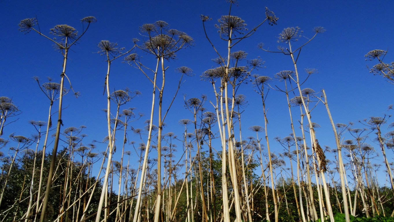
Land of the Giants! Giant hogweed set against a deep blue autumn sky was a common feature along this walk.
The countryside is becoming progressively more wooded as I continue alongside the riverbank but what is notable is the amount of towering giant hogweed which although has died bank makes for some interesting photographs against the deep blue sky. Around Clifton Junction there is some industry to my left mostly hidden among the trees and soon I find that I am following the course of the former Manchester, Bolton and Bury Canal. To start with, little of it is visible but I soon cross the River Irwell on the old Clifton Aqueduct which once carried the canal. North of the River Irwell I follow the course of a long gone railway which lead to a footbridge over the noisy M62 motorway. At this spot was once the site of the Molyneux Brow Railway Station on what was once the Accrington, Clifton and Colne railway line which ceased operations during 1931. I stay with the course of the former railway on the northern side before dropping down to a lower path bordering a long abandoned sewage farm now very overgrown and returning to nature. What surprises me next is that I come alongside a plant nursery tucked away and hemmed in beside the river on a sunny south facing bank. A little beyond I turn right onto a path again and now find evidence again of the former Manchester, Bolton and Bury Canal. Entering Ringley, I pass St Saviour’s Church and made down to take a look at the ancient Ringley Bridge which spans the River Irwell here. The bridge dates from 1677 and was built to replace an older wooden bridge which was swept away in floods in 1673. Nearby is an interesting clock tower which dates from 1625 and is now once more in working order.
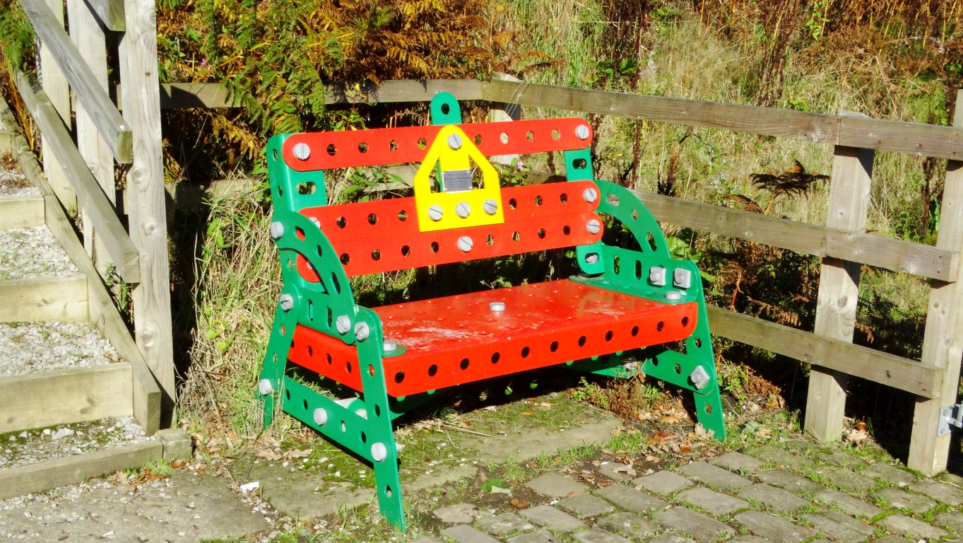
Crossing the A667 I now follow the canal towpath for the next mile to the Prestolee Aqueduct. This proves to be an interesting section of the canal as it runs along the side of a steep hill side. Directly below is the community of Prestolee complete with church and mill which could pass as a scene one hundred years ago. Along this section, the towpath is in the process of being repaired. I next cross the ancient Prestolee Aqueduct which opened in 1793 and spans the River Irwell and just above it is the Prestolee Canal Staircase. The site has been cleared of vegetation to reveal the extensive stonework. Plans are afoot to restore this flight of locks. What is unusual is what work that has been carried out and several features made out of large scale Meccano have been constructed including a seat, picnic benches and largest of all a Meccano Bridge over the canal. It is a good spot to stop for lunch and a first for me to have lunch sat on a Meccano seat.
My walk towards Bolton for now stays with the canal for the next mile which at first is covered with a thick carpet of green algae. Where the canal opens out, the autumn colours are very picturesque. I continue to cross the A6053 and to enter the Moses Gate Country Park. I want to branch off to see what is left of Darcy Lever Old Hall which was marked as italics on my Ordnance Survey Map. Prior to this site I walk through an area which warns of contaminated soil. Entering a group of farm buildings I can’t find any evidence of Darcy Lever Old Hall which I think had been demolished.
I cut through on some side paths and between houses to reach the path linking the former Liverpool, Bolton and Bury Railway Line. It has now been opened up as a footpath and crosses two railway viaducts, firstly the Darcy Lever Viaduct which spans the River Tonge and the B6209 and then the Burnden Viaduct which spans the River Croal and the busy A666 dual carriageway. Beyond, I join a side road then head up the B6356 to Bolton Station. I am in good time and could have spent an hour looking around the town but my feet are tired and the railway timetable shows a train is due for Manchester Piccadilly. I buy a ticket and am soon on my way back to Manchester for my onward journey home. It has been a good day out and with the sunny skies and the autumn colours has made this a very photographic walk coupled with the copious amounts of industrial archaeology.


