
I am setting out to walk the second leg of my walk along the Suffolk Coastal Path but the bus I want from Leiston to Snape Maltings isn’t until 10.54am. On the previous day I had caught an earlier bus from Snape Maltings to Woodbridge along the same route so it’s just possible that there is an earlier bus from Leiston. Arriving in this small rural town early I find that the first bus is 10.54am towards Woodbridge which means that there is two hours to kill. Well there’s only one thing for it,- I will walk this section in reverse and catch a bus back from Snape Maltings at the end of my walk. The problem with this is that I don’t have a bus timetable so this is where a bit of mathematics comes in handy. Work out how long the journey time is from Leiston to Snape Maltings, then cross to the bus stop on the opposite side of the road to see when the bus arrives at Leiston in the afternoon then subtract the time taken from Snape Maltings. I assure you it does work most of the time but there’s no guarantee!
So let’s get walking. I am now deciding to walk south from Leiston to Snape Maltings and in theory I know roughly the time of the bus back. It’s a twelve mile walk and I need to be at Snape Maltings by around 2pm which gives me around five hours walking time and being fairly flat countryside I am confident that I can do it in that time. Missing the bus on this rather infrequent service will mean walking another three miles across country to Farnham on the A12 to catch a more frequent bus back to Leiston. Setting out from Leiston I know I can’t afford to hang around too much today so from this rather sleepy small town I head east along a good track known as Grimsey’s Lane before following field boundaries consisting of a single strand of electric fencing and passing field after field full of pigs. The pigs are squealing for food as they think I am the farmer. I later follow a road into the tiny hamlet of Sizewell dominated by the nuclear power station just to the north of the community.
It is here I am joining the Suffolk Coastal Path south and I walk along the top of a low slope with much vegetation but soon the recognised path is soon signed inland. I want to stay with the coast as a decent path appears runs ahead but as I find out later this does eventually disappear due to the ongoing coastal erosion. I manage to get up onto a heath land and continue parallel with the coast to reach Thorpeness. Whilst in the village I want to visit the ‘House in the Clouds’ and the Post Mill which means doubling back on a detour.
Thorpeness was developed as a fantasy village in 1910 by Glencairn Stuart Ogilvie, a Scottish barrister who had made his money designing railways around the world but the outbreak of World War I put an end to the development really taking off. Ambitious plans included holiday houses built in the Jacobean and Tudor revival styles and a railway station were built to serve the new resort. The Meare, an artificial lake was created in the village and this is where J.M. Barrie took inspiration in writing his book Peter Pan.
I now decide to leave the Suffolk Coastal Path briefly and head inland to the unusually named ‘House in the Clouds’ to view this building. It was once an ugly water tower before being clad in wood to look like a house. It is now a holiday let and access to it is not permitted. Nearby I take a look at Thorpeness Post Mill which was built in 1803 at the nearby village of Aldringham but moved to Thorpeness in 1923. It was originally built as a corn mill but was converted to pump water to the ‘House in the Clouds’ water tower when it was moved to Thorpeness.
I need to press on even though I could spend awhile looking around the village and I make my way back to the coast where I head south along a green for the next mile. Next I turn inland crossing the coastal road and soon find a seat for my morning break. The Suffolk Coast Path makes a big diversion inland now to cross the River Alde at the lowest bridging point at Snape Maltings. I continue down a private road before crossing the B1122 before passing alongside Aldeburgh Golf Course. Reaching the A1094 I have to follow this road for a good half mile but at least there was a parallel path.
Leaving this road I will next follow the Sailor’s Path renowned in the past for smuggling in this remote part of Suffolk which is full of creeks and secluded woodland. This I find is a delightful path which runs through mixed heath land and woodland but without some good boardwalks, this route would be impossible. I decide I have enough time to stop for lunch before reaching Snape Maltings. Setting off again it’s about a mile and a half to reach the bus stop and the last part of my walk runs along an embankment parallel with the River Alde. The first thing I need to do when I reach Snape Maltings is to check the bus timetable and I find that I’m in good time with plenty of time to spare which enables me to take a wander around the complex of Snape Maltings itself.
Snape Maltings was once an industrial complex for malting barley for the brewing of beer which was then exported not only to other parts of the UK but also to Europe. The barley and malt was exported using the famous Thames barges, once a familiar sight in this part of the world. This site became redundant in the late 1960’s and today the site has been transformed into a concert hall and a series of shopping outlets and cafe’s and is also one of the main sites for the Aldeburgh Festival.
Well it was time to get the bus back to Leiston which thankfully was running on time but tomorrow would throw up a completely new problem which would mean that my walk would take on a new twist so watch out for the next instalment.
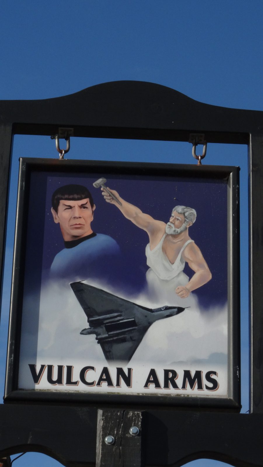
An interesting pub sign at Sizewell close to the point where I join the Suffolk Coastal Path on this walk.
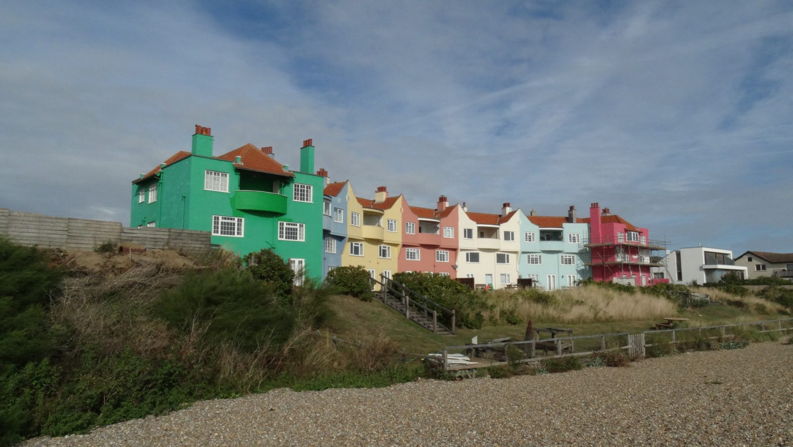
Brightly coloured houses in Thorpeness.
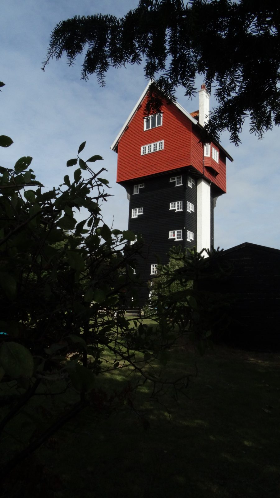
The ‘House in the Clouds’ once a unsightly water tower but then disguised as a house.
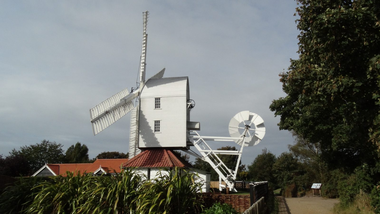
The Post Mill in Thorpeness which stands close to the ‘House in the Clouds’
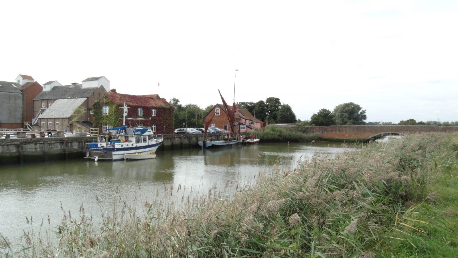
.Snape Maltings and the River Alde. This is the lowest bridging point of the River Alde and is several miles inland.