
It’s early on a November morning and I am setting off to walk the coastline from Perranporth to Newquay. An Atlantic front is forecast to steam in later in the day so it’s a case of enjoying the good weather while it lasts.
Perranporth on the North Cornish coast was merely just a mining community a hundred years ago and during the late Victorian times it began to develop as a tourist resort and many fine mansions were built. Winston Graham, author of the Poldark books moved to the village in 1925 and lived there for more than forty years. His house in Granny’s Lane is no longer there but was located on the site of a modern dwelling. In his books, Graham used local place names which we are familiar with today from the recently aired television series. Wheal Leisure, Ross Poldark’s mine was a copper mine located in Perranporth and there is no trace of this mine today but the name appears on a residential road and Nampara was an area consisting of a few streets above Perranporth. Again I could only find Nampara Court, a large private dwelling on my recent visit.
So let’s get walking. I’m glad to say that the wind has abated from a couple of rough days and the swell is much less which is not good news for any surfers. Hazy November sunshine is now making an appearance as I head north along the massive sand dunes which back onto Perran Beach, a two mile long stretch of clean sand. The dune land terrain of Penhale Sands stretch some way inland and much of the area is MOD property and out of bounds although there doesn’t seem to be any military activity around. This large area of dune landscape is noted for its butterflies many of them rare today, and furthermore the area has a rich archaeological past stretching back some 5000 years. Shifting sands have covered many ancient settlements which have now been lost for centuries but a couple of places of note are the remains of St Piran’s Church, abandoned in 1804, St Piran’s Cross, a boundary marker and the plaque describing St Piran’s Oratory which is now lost under the sands.
Heading north along the coast the permissive coastal path is hemmed in between the unfenced MOD boundary and the sea. At Ligger Point, the first headland I pause to look back along the un-walked sands since the last high tide of Perran Beach.
Focusing northwards the coastal scenery changes with rocky inlets and sea caves around the area called Hoblyn’s Cove. There is little life at Penhale Army Camp just inland as I hug the coastline around Penhale Point. Fenced off mine shafts dot the cliff top and is the only evidence of the former Wheal Golden a former lead mine but the biggest blot on this headland today is some sort of fenced off contraption with warnings not to enter and the hazard notices stating ‘non-iodising radiation’.
Time to press on I feel and I am now heading briefly inland to cross a footbridge at the sheltered head of Holywell Bay. The north side of the bay is dominated by some large shifting sand dunes and briefly I feel that I could be trekking in the Sahara Desert with massive towering sand drifts. Beyond this area the landscape changes yet again to a large grassy headland leading towards Kelsey Head. It is here that many of the coastal scenes from the recent Poldark television series were filmed from Ross Poldark galloping along the cliffs or Doctor Dwight Ennis and Caroline Penvenen cantering along the sands below. The background pyramidal rocky islets of Gull Rocks give the clue away of its location. Today, however I have the place to myself and not even a sign of any smugglers around!
Exposed Kelsey Head was once the site of a pre-historic settlement and the ancient embankments are still clearly visible which leads me to think that the climate was once warmer for man to live on this headland.
I’m walking around sandy Porth Joke next, a secluded inlet and probably out of the sight of the Excise men in past centuries. Staying with the coast, Pentire Point West is the last open headland on my walk. Newquay is just across the other side of Crantock Beach but to get there will involve a trek inland. The tide is coming in quickly and The Gannel is filling with sea water at quite an alarming rate. During the summer, a ferry plies between Crantock Beach and Pentire on the Newquay side of the inlet. A mile upstream a path across the sands with a low causeway is passable a couple of hours either side of low water but I have checked the tide tables and have allowed for my longer diversion inland. I am nearing the causeway but the incoming tide is already over it and flooding the sands beyond. It’s time for lunch and I find a sheltered seat beside Penpol Farm by which time that Atlantic front has now blotted out the sun for the rest of the day.
It’s not a long walk to Newquay and I estimate it’s only around three miles which gives me ample time to catch the mid afternoon bus back to Perranporth. Setting off, I am now walking through a totally landscape and one of following field boundaries and passing through farms with typical Cornish sounding names of Little Trevithick, Treringey and Trevemper which wouldn’t seem out of place in a Poldark novel. I turn left at the latter and make my way down to the marshes at the head of The Gannel and Trenance Footbridge. I only just make it as the tide is only around six inches below the path and I discover on the far side of the footbridge that the tide covers this area an hour either side of high tide. With time still in my favour I decide to follow the path along the north side of The Gannel before cutting up over the headland at Pentire with new views opening out across Fistral Beach and the coastline beyond. Now for that bus which thankfully is running on time.
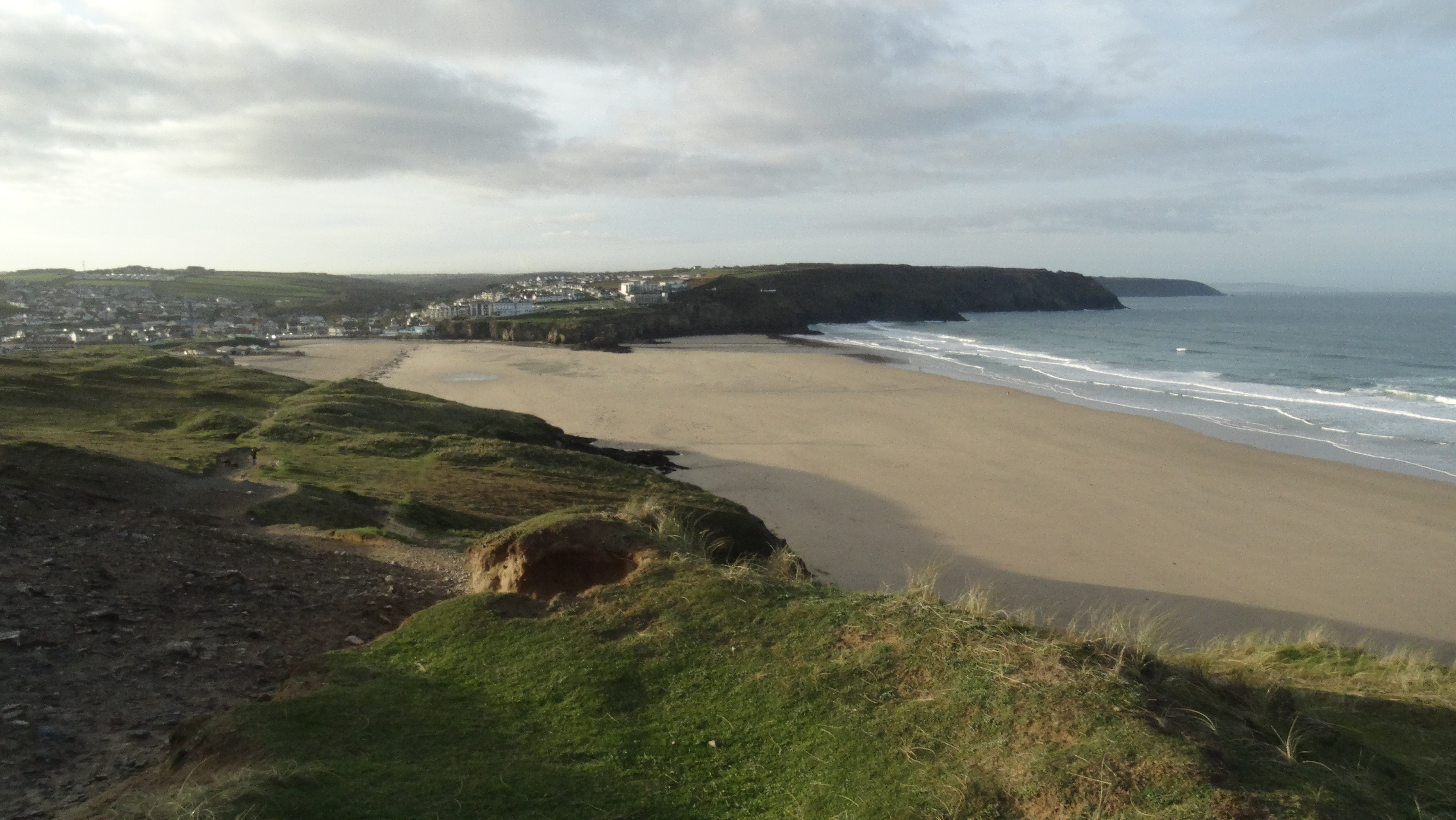 Setting out early on a fine November morning from Perranporth.
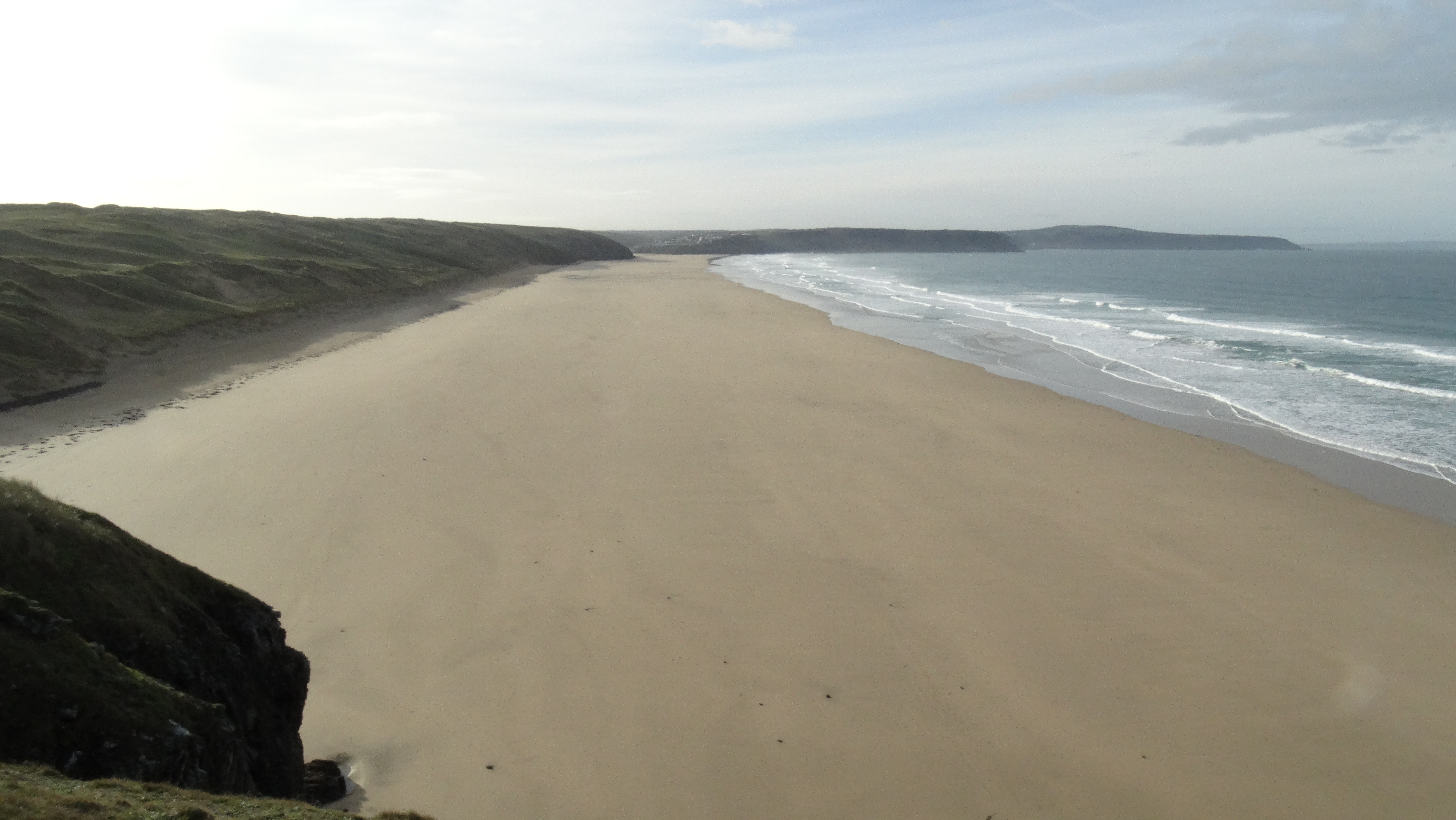 Perran Sands – un-walked since the last high tide.
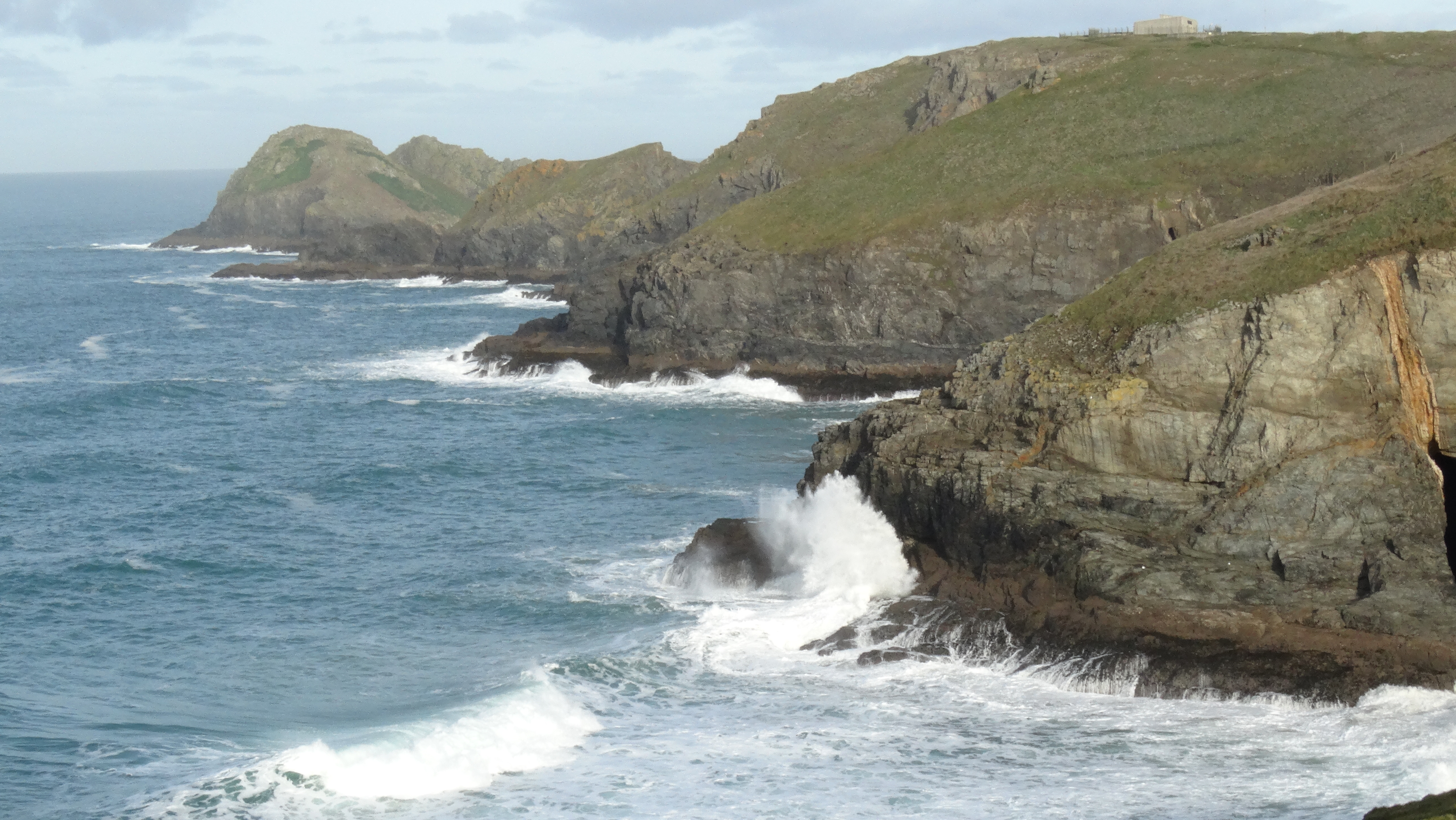 Coastal scenery north of Ligger Point.
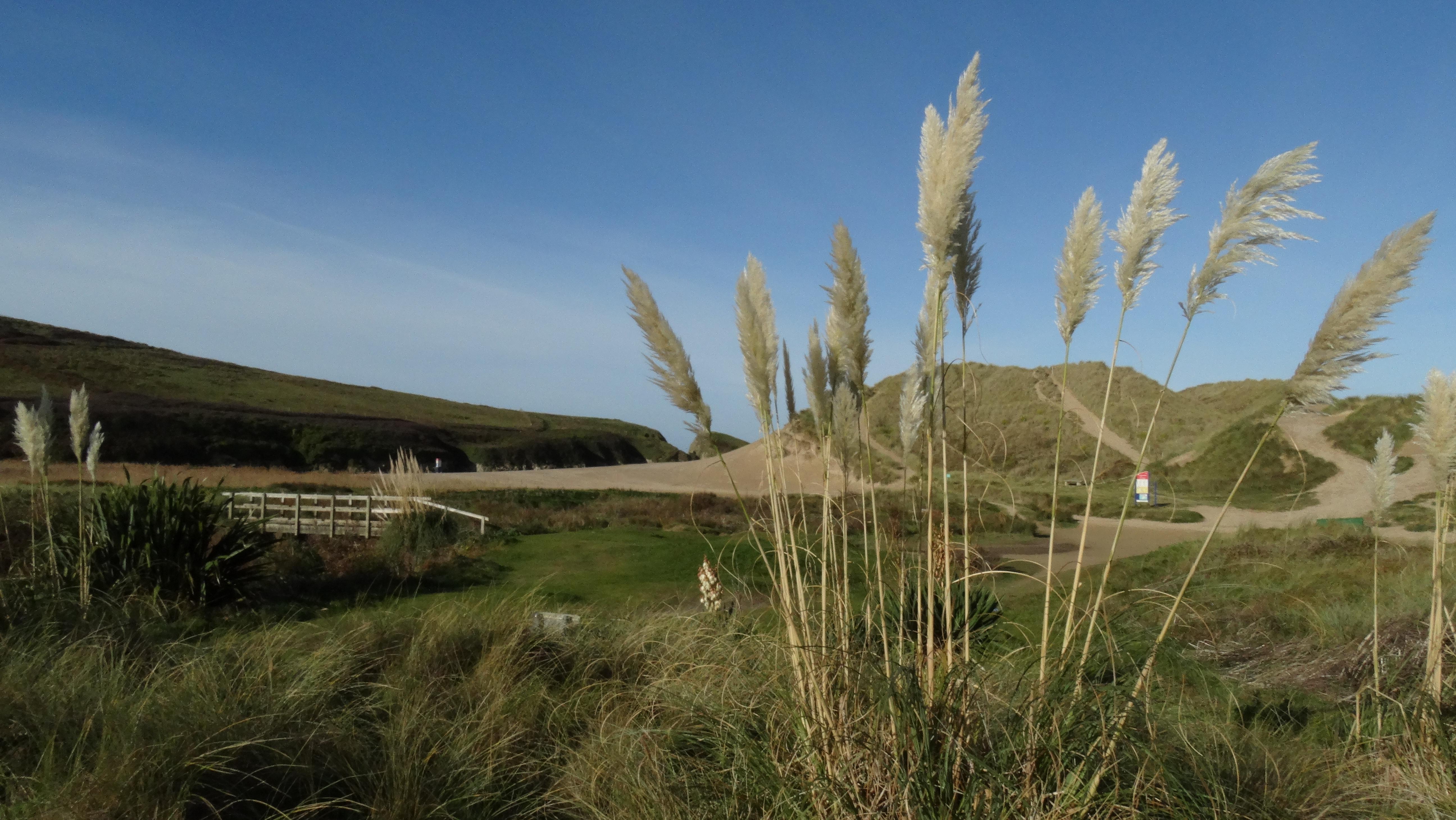 Pampas grass at the sheltered head of Holywell Beach
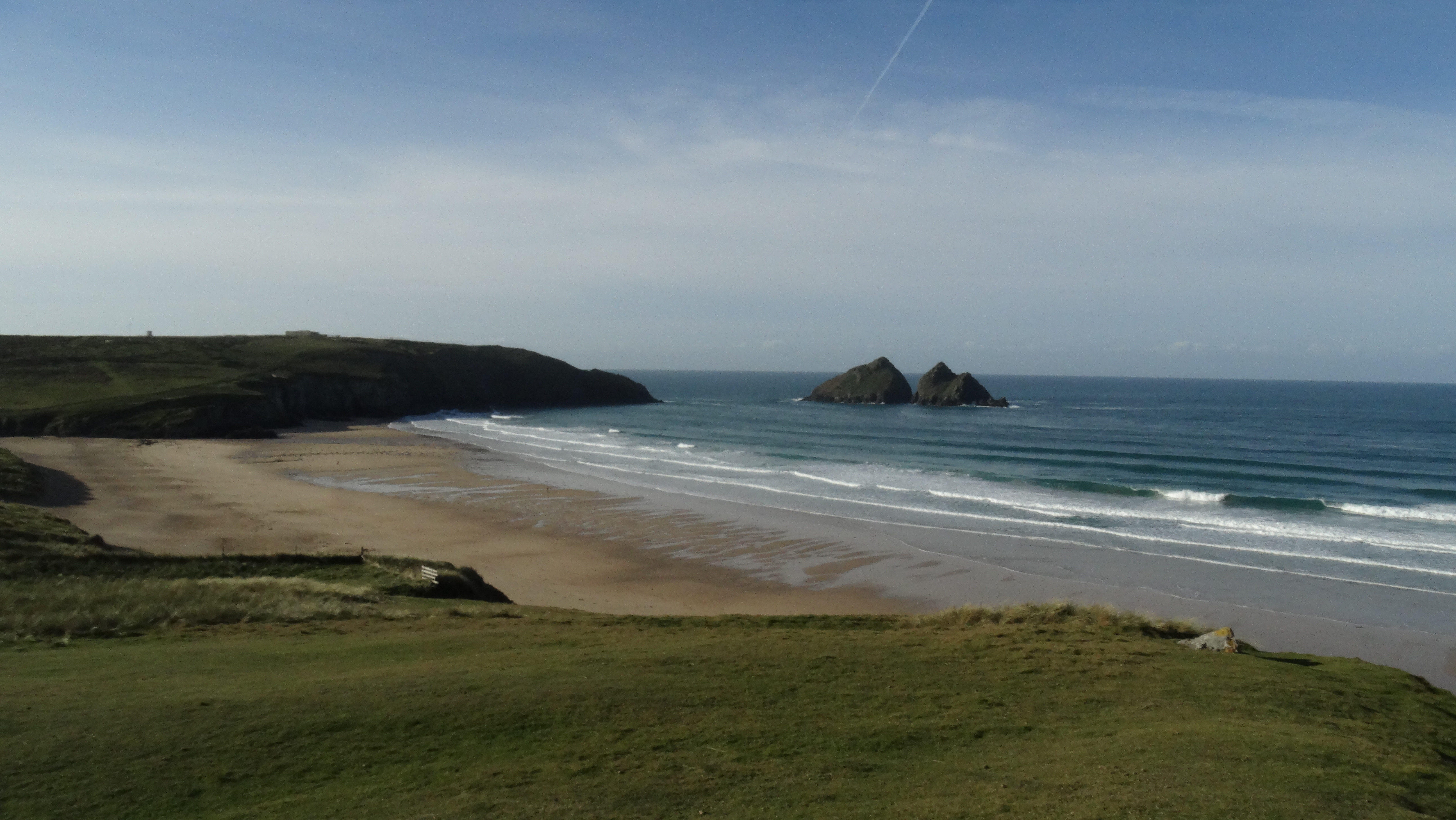 Holywell Bay and Gull Rocks – setting for many coastal scenes on the recent Poldark TV series.
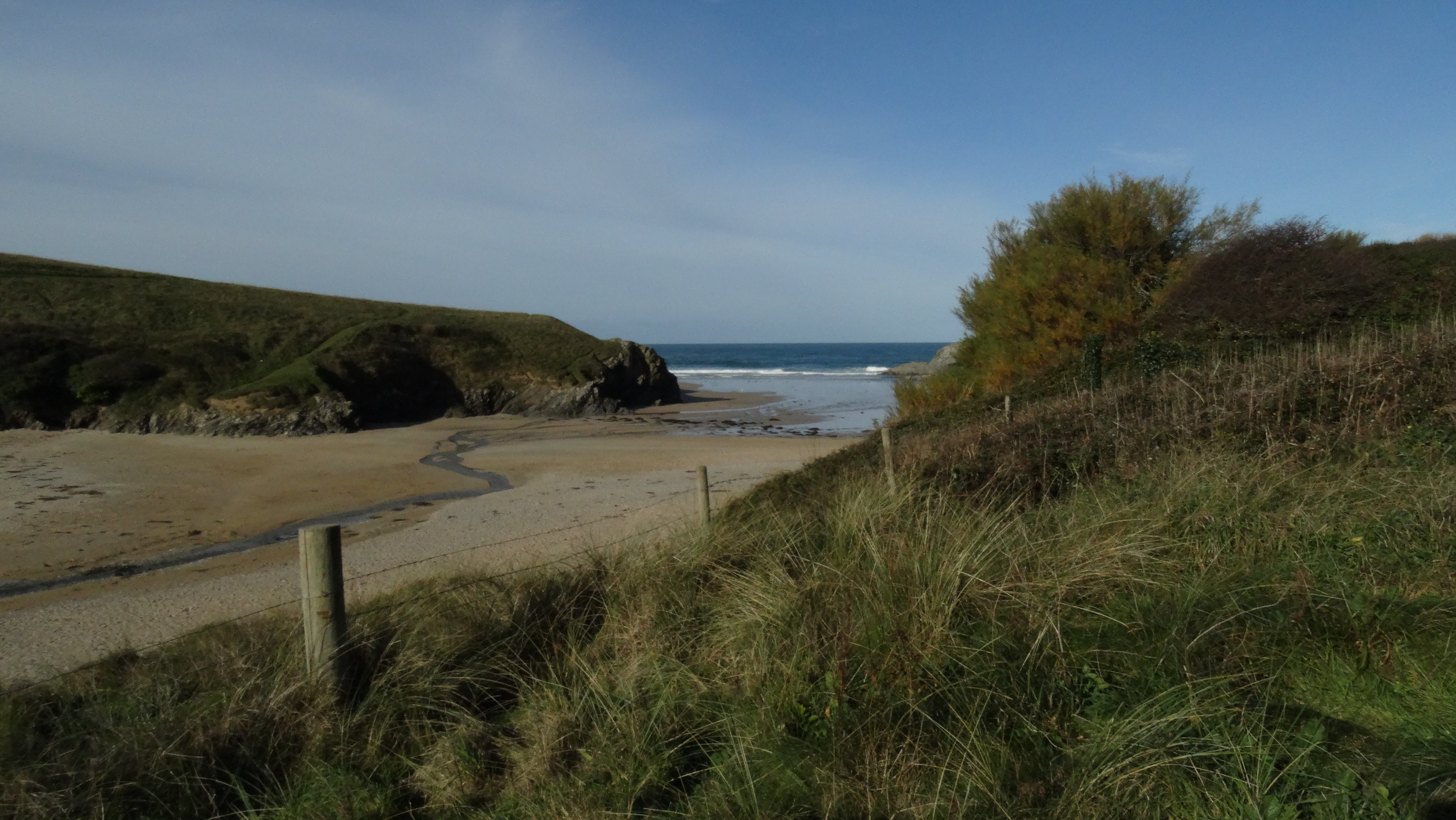 Secluded Porth Joke – a sandy inland between Holywell Bay and Newquay
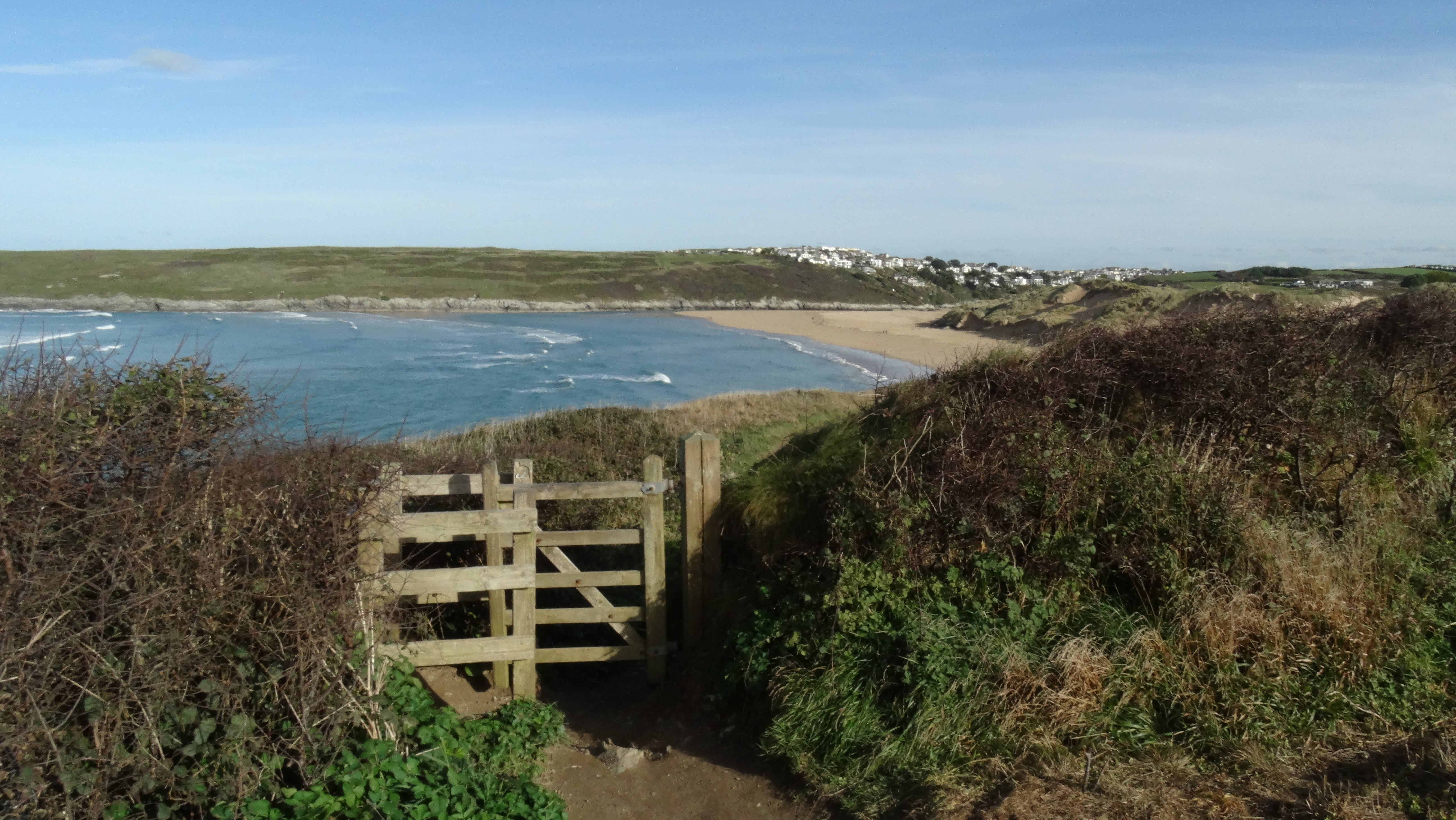 On the coastal path heading towards Crantock Beach with the edge of Newquay beyond.
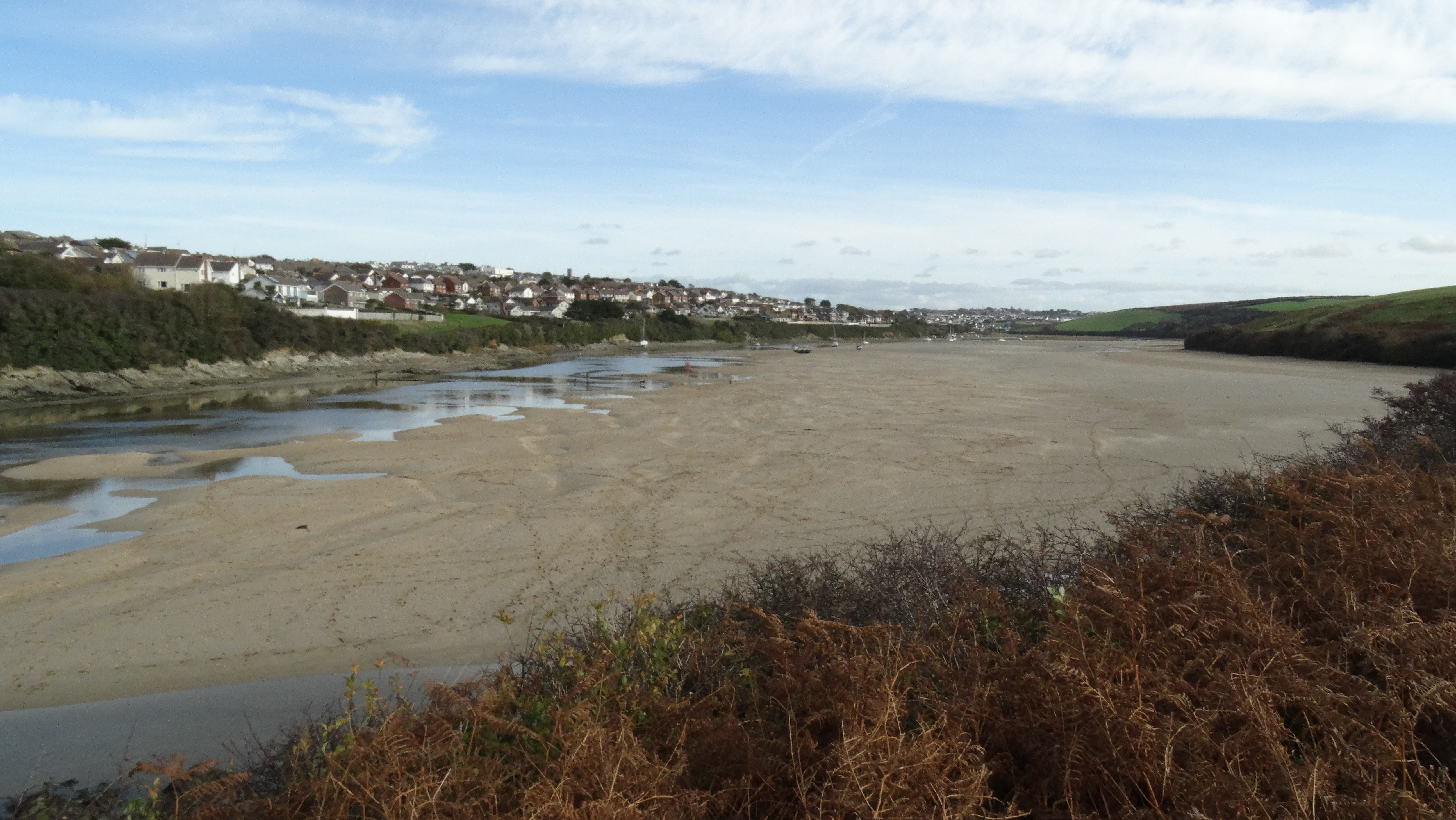 The incoming tide quickly covers the sands on the upper reaches of The Gannel. The foot causeway is middle left.