Group walk report 29th June

The group on Manshead End, 417 metres.

It was a hot and humid day for this thirteen mile long walk for the East Cheshire Ramblers starting out from the village of Ripponden. The first part of the walk followed the wooded valley of the River Ryburn before making a short but steep ascent to the dam at Ryburn Reservoir. Completed in 1933, the reservoir is operated by Yorkshire Water and is the lower of two reservoirs built in the valley. Both reservoirs supply water to the City of Wakefield.
Above the southern shore of the reservoir a stop was made at a picnic area for a morning coffee break before making the ascent up onto Blackwood Edge. Here we joined the Blackwood Edge Road westwards which is a moorland track. A diversion was made to reach the rounded summit of Dog Hill (435 metres). From here, moorland paths were followed west over Rishworth Moor to join the path which runs alongside Rishworth Drain which is a leat which contours around the hillside and acts as a catchment stream for the nearby Great Withins Reservoir. It was a good spot to stop for lunch as there was just enough breeze to make it pleasant.
For the afternoon leg of the walk we descended on the moorland path close to Rag Sapling Clough to reach and cross the A58 at New Gate End Bridge. A gradual ascent followed over Soyland Moor where our walk continued to the hill called Manshead End (417 metres) and time for another break to admire the views.
The slightly lower Great Manshead Hill was next on our route before joining the Calderdale Way and later descending to Mill Bank, a small village which has a rich industrial history. The valley through which runs the fast flowing Lumb Beck was once a hive of industry with several water mills. Industries included cotton, fine silk woollen worsted cloth and spinning but the last textile mill in the valley finally closed in the 1970’s. At one time, over four hundred local people were employed in these industries but times were hard especially when disastrous fires burnt the mills down.
With another short but steep ascent followed by a gradual descent across fields we were soon in Ripponden and timed it nicely for afternoon tea and c

ake in Stanley’s Kitchen.

Starting point was close to the Old Bridge Inn in Ripponden which is claimed to be the oldest hostelry in Yorkshire.


We walked along Bar Lane in the Ryburn Valley shortly after starting our walk.

A shady spot for our morning break beside Ryburn Reservoir.

Crossing Soyland Moor towards Manshead End.

Group walk report 10th July

By Paul Simms

The Peak Pilgrimage is a 39 mile long-distance footpath from the Church of the Holy Cross in Ilam to St Lawrence’s church in the plague village of Eyam, taking in ten other churches on the way. East Cheshire Ramblers are undertaking a series of circular walks to trace this pilgrimage route and we did the fourth of these recently.

A small group of Ramblers set off from the top of Lathkill Dale on an overcast day in mid-July that quickly brightened up and had us shedding fleeces and jackets and donning sun hats. Many spring wildflowers were still in evidence including the lovely blue Jacob’s Ladder.Also in the dale is much evidence of historical industry with mine tunnels and shafts, screes from quarrying, weirs and mill stones, and the pillars of an aqueduct that supplied a mill for pumping water out of the old mine workings.

The limestone of the dale is some 340 million years old, laid down in shallow tropical seas and coral lagoons with plenty of fossils to see when you know what to look for. At the village of Over Haddon, the stones of the Victorian church of St Anne’s have lots of crinoids and brachiopods. Leaving the dale here we set off across farmland and over many stiles to reach Magpie Mine.

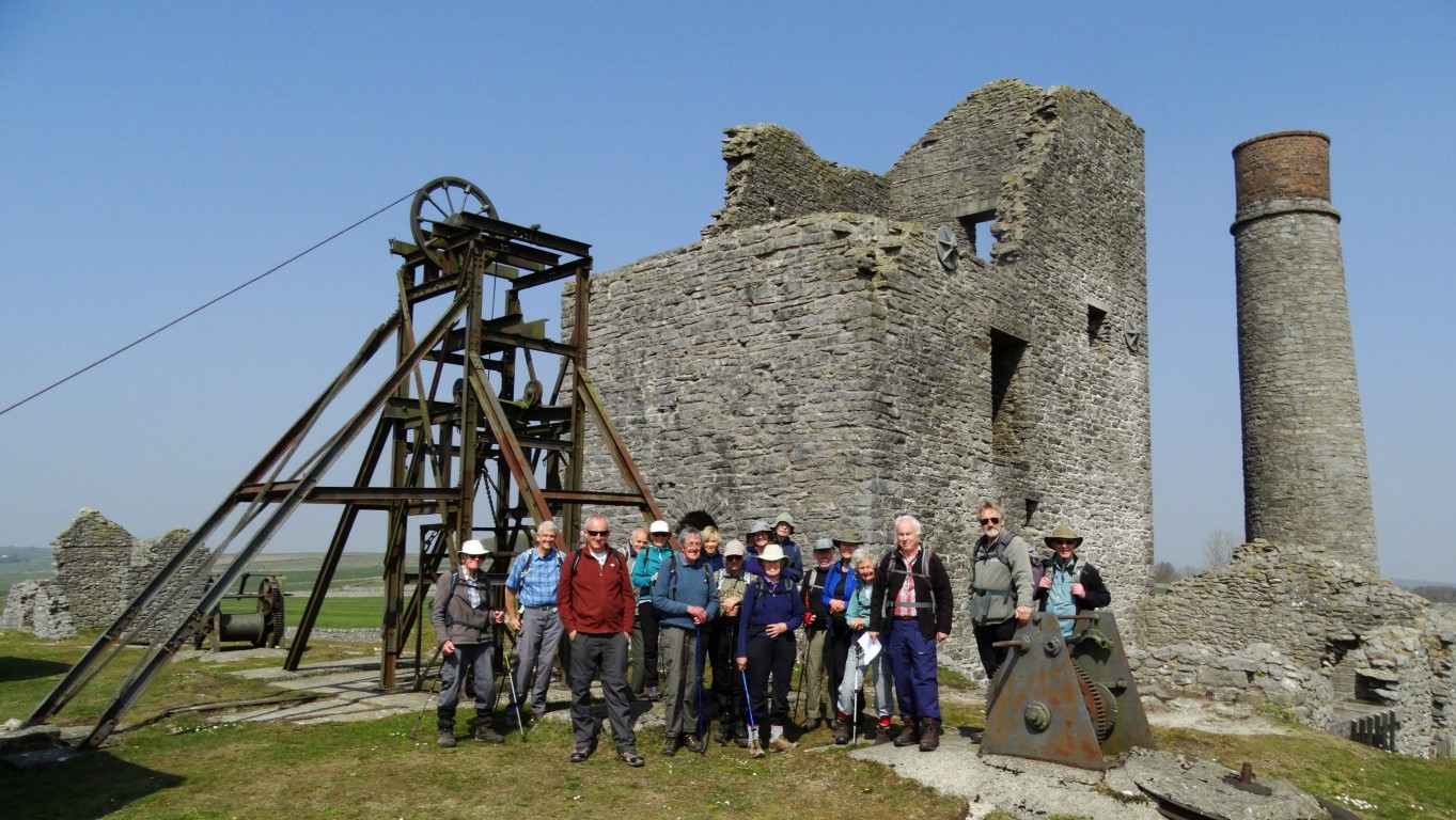
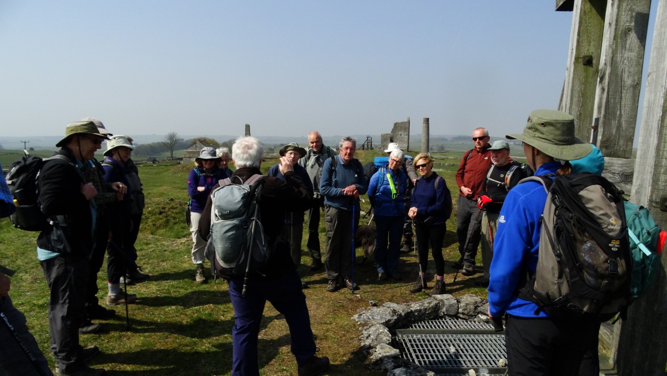
Magpie Mine is the most complete example of lead mining in the Peak District. The picture shows some of our party enjoying their sandwiches in front of the old engine house where a Cornish beam engine was installed in 1840, again to pump water out of mine. Disputes over the rights to mine the lead seams led to the deaths of three miners at adjacent workings in 1833 and their widows put a curse on Magpie Mine which remains to this day!

From the mine we headed back across the fields to Bagshaw Dale and so to our start point.

For more details of the Peak Pilgrimage go to peakpilgrimage.org.uk. For information about lead mining in the Peak District go to peakdistrictleadminingmuseum.co.uk.

Some of the group at The Magpie Mine.

Our visit to the Blackden Trust

Brian Griffiths has recently led the first of three planned visits by our group to The Blackden Trust near Goostrey.

The Blackden Trust really is a “Hidden Gem” and was only ‘discovered’ by the group whilst out on a ramble in the area earlier in the year and not one of the 20 of us had heard of it until a few months ago.

A short walk along the paths and lanes around Goostrey led us to Blackden where famed local author Alan Garner lives. Already living in the 15th century Toad Hall he rescued the 16th century Old Medicine House from demolition in Wrinehill near Crewe. Purchasing it for £1 he organised its reconstruction at Blackden.

We were all thoroughly entranced by the stories told by his daughter Katharine of growing up there, and the history of the place and the buildings told by several volunteers.

Afterwards we all enjoyed tea and cakes in their marquee, especially Andy who wolfed down 2 slices!

I don’t want to spoil it for the following 2 groups so will leave it to Colin Park to provide a more detailed account after his visit. At the time of writing we have only 1 place left for the final visit on 24th August. However there are still places left on their public tours for anyone interested in this absolutely fascinating “Hidden Gem”.Just Google Blackden Trust.

Brian Griffiths

As a footnote Colin Park will lead a visit on the 21st of August and Tony Littler will lead the visit on the 24th of August. Both visits will be preceded by an optional morning walk of around 5-6 miles and full details will appear on our website prior.

The group outside the Medicine House

Enjoying afternoon tea and cake in the grounds of the Medicine House

ECR Weekend Away to Ilkley – 15th / 16th June 2019

By Melanie Davy

The Sunday long walkers on Ilkley Moor.

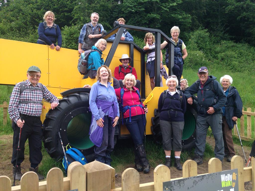
Every year, East Cheshire Ramblers organises one or two weekends away and in June they went to the delightful Yorkshire spa town of Ilkley. Thirty seven people took part, with the majority staying in Craiglands Hotel next to Ilkley Moor. There were 6 walks of various lengths over the weekend. On Saturday, they were 3 walks in the Bolton Abbey area. The short walk (7 miles) stayed within the Bolton Abbey estate, which is privately owned by the Duke of Devonshire. They enjoyed a leisurely walk along the river, admiring the curlews and marvelling at the sand martins racing across the river and disappearing into small holes in the riverbank. They stopped for lunch at Bolton Priory ruins, which was perfect timing to watch a wedding party coming out of the adjoining 12th century church. On their return they came across a full size toy tractor which most of them couldn’t resist having a play on.

A large toy tractor in the Bolton Abbey Estate on the short Saturday walk.

Braving the wet weather on the Saurday long walk.

The medium (9 miles) and long walkers (13 miles) set off separately through the Valley of Desolation and across Barden Fell to Simon’s Seat. While the medium walkers dropped down to the Valley of the River Wharfe and walked back along the river, the long walkers covered Howgill Lane, High Skyreholme, Parceval Hall, Trollers Gill, Harrington and Appletreewick, returning along the Dales Way past Barden Tower and The Strid back to Bolton Abbey.

The Saturday Medium walk on Simon’s Seat.

On Sunday all the walks started from the hotel and climbed up to Ilkley Moor. It was quite a humid day and having had a late cloudburst on the previous day, it was interesting to see how each rambler interpreted the weather forecast and outfits ranged from shorts and short-sleeves to full waterproof gear! In the event, the weather was wonderful.

Will it be hot or cold, dry or wet. A conflicting weather forecast for the Sunday walk meant different types of clothing to wear.

All the walks passed Ilkley Tarn, which was previously lit with a fountain and the scene of band concerts but is now a peaceful wildlife haven. They went on to White Wells, a former spa bath, which now has a small café. The bath was outdoors when built in the 18th century but is now enclosed with interesting interpretation boards on the history of Ilkley as a spa town. At this point the walks went their separate ways.
The short walkers headed east towards the famous hanging stone, known as the Cow and Calf. Legend has it that the calf was split from the cow when the legendary giant Rombald was fleeing an enemy and stamped on the rock as he leapt across the valley. Ilkley Moor was originally known as Rombalds Moor, but thanks to the famous song “On Ilkley Moor Baht ‘at” it is always known as Ilkley Moor. As the short walkers continued their walk, they passed the Little Skirtful of stones and the Great Skirtful of stones: stones apparently carried by the Giant’s wife in her skirt and dropped as she was pursuing him across the moor. Yes, you guessed it, she was the enemy! Ilkley Moor is well known for its archaeology and the short walkers also passed the Twelve Apostles, a ring of Bronze Age standing stones near the meeting of 2 ancient routes. The medium and long walkers followed the millennium way to the Swastika stone with its engraving of a swastika shape. There is debate as to whether it dates from the Bronze, Neolithic or Roman ages. The medium walkers followed the Dales High Way to Addingham and then back along the River Wharfe to Ilkley. The long walkers walked along the northern edge of the moor with spectacular views extending over Silsden as they turned south and descended through the Glen to reach Sunnydale Reservoir built in the 19th century for the local area but now part of Yorkshire Water. Returning over the moor they had extensive views of Keighley, Bradford, Leeds and the intervening settlements before they reached the summit of the moor and the northern aspect returned with clear views of the Menwith Hill early warning system. They returned via the Cow and Calf Rocks.

The Sunday medium walkers on Ilkley Moor.

The short walk on Sunday at The Great Skirtful of Stones.

Group walk report 28th May

The group at Meccano Bridge at Prestolee Locks Staircase.

The East Cheshire Ramblers used trains for a recent linear walk between Salford Crescent and Bolton Stations for this thirteen mile ramble along the lower reaches of the Irwell Valley.
Leaving Salford Crescent we were soon in rural countryside and skirted the area which was once the site of Manchester Race Course and was first recorded as being in existence in 1647 and finally closed in 1847. To reach Ringley our route followed closely the wooded banks of the River Irwell on good paths with a stop for a picnic lunch en route. In places there were reminders of the former Manchester, Bolton & Bury Canal including our crossing of the old Clifton Aqueduct which is where the canal crossed the River Irwell.
In Ringley we paused to take a look at the historic Ringley Bridge over the River Irwell. The bridge dates from 1677 and was built to replace an older wooden bridge which was swept away in floods in 1673. Nearby is an interesting clock tower which dates from1625 is now once more in working order.
Crossing the A667 we now followed the canal towpath for the next mile to the Prestolee Aqueduct. This proved to be an interesting section of the canal as it ran along the side of a steep hill side. Directly below was the community of Prestolee complete with church and mill which could have been a similar scene one hundred years ago.
We next crossed the ancient Prestolee Aqueduct which opened in 1793 and spanned the River Irwell and just above it was the Prestolee Canal Staircase. The site had been cleared of vegetation to reveal the extensive stonework. Plans are afoot to restore this flight of locks. What is unusual is the work that has been carried out and several features made out of large scale Meccano have been constructed including a seat, picnic benches and largest of all a Meccano Bridge over the canal. This unique site made a good afternoon tea stop.
The walk towards Bolton continued via Moses Gate Country Park and later over the two former railway viaducts at Darcy Lever and Burnden which have now been converted to a cycleway and walkway. This led us nicely in towards Bolton where we timed it just right for our return train journey.

The historic bridge over the River Irwell at Ringley.

This is one we made earlier! The group trying out a Meccano picnic bench at Prestolee Locks Staircase.

Group walk report 22nd May

The Bishops’ House in Sheffield.

By Steve Hull

East Cheshire Ramblers recently spent a day walking part of the Sheffield Round Walk. The walk does not circumnavigate the whole of the city but is a loop through parkland and countryside south and west of the city. Starting amongst the park runners in Endcliffe Park we soon came to the Shepherd Wheel further up the valley of the Porter Brook which is open to visitors and working on most Saturdays.
The walk rises gradually and becomes wilder as it ascends past Forge Dam up through Porter Clough to the edge of moorland at Ringinglow with its alpaca farm. We then went down through fields and woodland and spent some time looking round Whinfell Quarry Gardens which is being restored by volunteers to its former state as the garden of a large house which is now demolished.
Returning to the route of the round walk we walked through Eccleshall Woods past a miniature railway which was unfortunately not open to reach the one steep climb of the day up the wooded slopes above the Dore and Totley Station. This brought us to Beauchief Abbey. The exact date the Abbey was founded is uncertain but it is thought that it existed prior to 1172AD. During its heyday the Abbey housed around 12 to 15 canons and several lay brothers. Farming and iron smelting was the main occupation and like most other abbeys, it was dissolved in 1537. Today, only the western tower of the abbey is left standing.
Leaving the Abbey some country lanes were followed before passing through woods leading to Graves Park where we enjoyed tea in the café.
The final part of our route took us down the Gleadless valley to the Bishops’ House, which was just closing as we reached it. After seeing some panoramic views of Sheffield from Meersbrook Park, we caught buses back to our starting point.

Group walk report 26th April (Stroller walk)

Morning break at Birtles Church.

By Melanie Davy

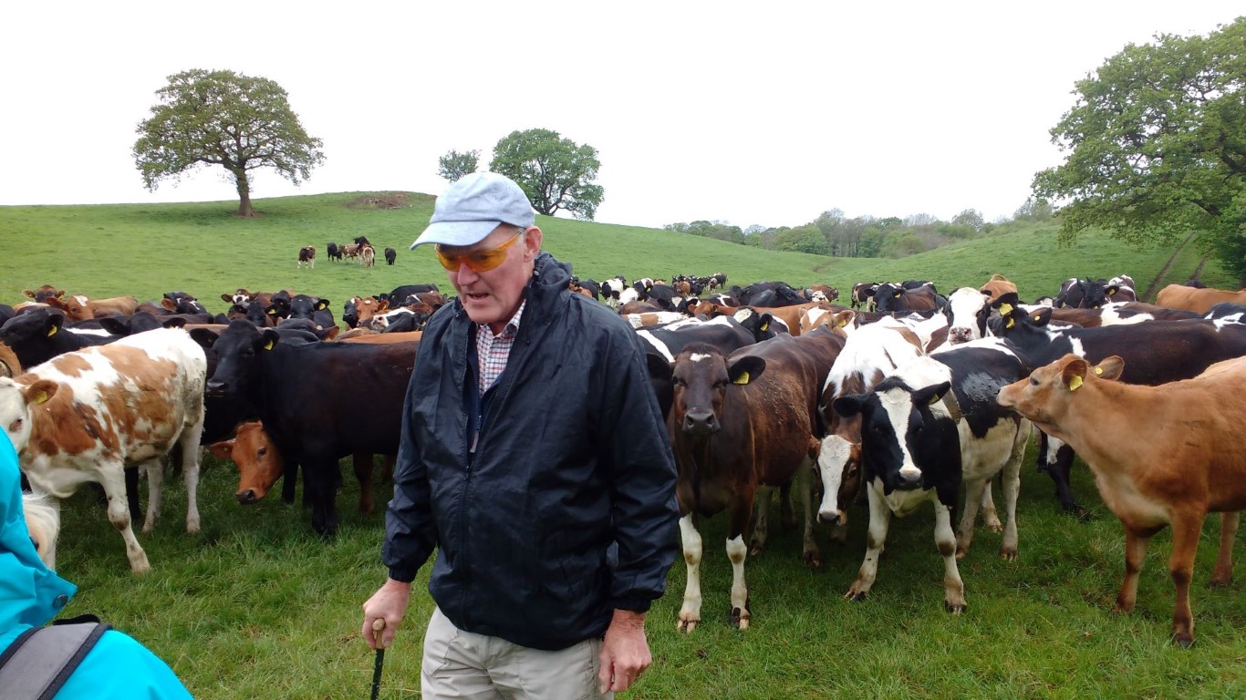
This was a gentle 4 mile stroller walk with a mixture of quiet country roads, woodland paths and fields. Fourteen people set off from Alderley Edge National Trust Car Park, crossed Macclesfield Road, and headed for the fields via Bradford Lane and Finlow Hill Lane. Despite being so close to civilisation, the views from the fields give you the impression that you are miles from anywhere. At Slade Lane, we turned right along the lane edged with bluebells and red campion. At Hocker Lane we turned left and very shortly saw a huge wood full of English bluebells in full flower. We crossed a stile and walked down the hidden path next to the bluebells. It is a very extensive bluebell wood and looked stunning in the dappled light.The next field was full of inquisitive young cattle. No doubt expecting food, they rather alarmingly rushed across to greet us, but ground to a halt when they realised it wasn’t feeding time.We turned right on Birtles Lane and walked to St Catherine’s Church, Birtles, where we stopped for a break in the peaceful churchyard.
St Catherine’s is listed as one of England’s Thousand Best Churches and is a Grade II listed building.It was originally a private chapel for the Hibbert family but is now a parish church. Its unusual octagonal tower contains eight bells and the stained glass and furnishings were collected by the Hibbert family from Germany and the Netherlands and date from the late 16th and early 17th centuries. They include a pulpit dated 1686, a medieval eagle lectern and two large brass chandeliers which are copies of those in Milan Cathedral.
We re-traced our steps for a few metres and took the path to Higher Park Farm. This took us back to Hocker Lane where we turned left and walked along a quiet country lane as far as Hayman’s Farm. Taking the footpath up Finlow Hill, we turned left and returned to the car park. A very pretty walk, which would also be perfect for a summer’s evening.

Walking among the bluebells

Bob with some keen followers.

Long walkers weekend Thirsk – Group report 27/28th April

Outside the Paradise Farm Tearooms towards the end of Sunday’s walk

Thirsk in North Yorkshire was the base for two long walks by the East Cheshire Ramblers recently. Despite some unseasonable weather, the large group managed an eleven mile walk along the Cleveland Way on the Saturday. Starting with a car shuttle, twenty one walkers set off from below the large chalk figure known as the Kilburn White Horse.
The White Horse is the largest hill figure in the country measuring 318 feet in length and is 220 feet high and is said to be visible from around 45 miles away. The figure was created in 1857 by school master John Hodgson and his pupils together with several volunteers. During World War II it was covered up as it was a navigational landmark for enemy bombers.
Ascending steeply to the escarpment with limited views across the rainy Vale of York, the group first headed via the Sutton Bank Visitor Centre before heading east via the upland village of Cold Kirby to Flassen Dale where we stopped for lunch at some convenient picnic benches in the sheltered valley.
A short diversion was made during the afternoon to visit Rievaulx Abbey. The abbey was the first Cistercian monastery in the north of England and was founded in 1132. In this secluded corner of North Yorkshire the abbey prospered and in its heyday had around 140 monks and 500 lay brothers. Over time the abbey became one of the wealthiest in England and farmed over 24 square kilometres and had lead and iron mines. By the end of the 13th century the abbey’s fortunes waned due to an epidemic of sheep scab and suffered from raiding parties from Scotland. The Black Death in the mid 14th century meant that there was a labour shortage and the abbey was forced to lease much of its land. The final blow came with the Dissolution of the Monasteries in 1538. Our walk continued to finish in the attractive little town of Helmsley.
The weather was better for the Sunday with a ten and a half mile long circular walk on the western edge of the North York Moors following field paths and taking in the attractive villages of Boltby, Kirby Knowle and Cowesby. In the latter we stopped for lunch before ascending back onto the moors and visiting tea rooms at an isolated farm shortly before the end of the walk.

Saturday’s lunch stop in Flassen Dale with a choice of places to eat lunch – picnic benches in the rain or in the cabin in the dry.


On Gallow Hill on Sunday’s walk. Nick decides to take a rest much to everyone amazement.

Group walk report 21st April

A perfect spring day by Ladybower Reservoir

Despite a fine and sunny Sunday it was a fairly small attendance for this walk from Hope in Derbyshire.

Setting off from the village we headed north on a path between houses before making the long ascent to the summit of the 462 metre Win Hill which today was very busy with walkers enjoying the fine weather.

After a break on the summit we descended north on a much quieter path and later passing through pine woods to reach the path that runs around the southern shore of Ladybower Reservoir. This very popular path was followed around to the dam at Ladybower Reservoir.
The reservoir is the largest of the three lakes in the Derwent Valley and was built between 1935 and 1943 but work was slow owing to the outbreak of World War II which resulted in a shortage of labour. The dam is 500 feet wide and is mostly constructed of a clay-cored earth embankment. Deep beneath the water nowadays is the former village of Ashopton and roads along the valley had to be diverted and now run over the Ashopton and Ladybower Viaducts.
After crossing the dam we next descended to Yorkshire Bridge before ascending to the Thornhill Trail. The trail runs along the course of a former narrow gauge railway, specially built to transport materials to build the Ladybower Reservoir. A large bench here was our lunch stop.

Our walk over to the small and attractive village of Aston was on a pleasant hill path. Aston has many interesting and picturesque cottages and the historic Aston Hall dates from 1578.
Descending across pastures towards Hope we rounded off the walk with a visit to a tea room.

Thornhill Lane at Aston on a peaceful spring afternoon.


Marion and Unice meet a freindly horse and its owner in Aston.


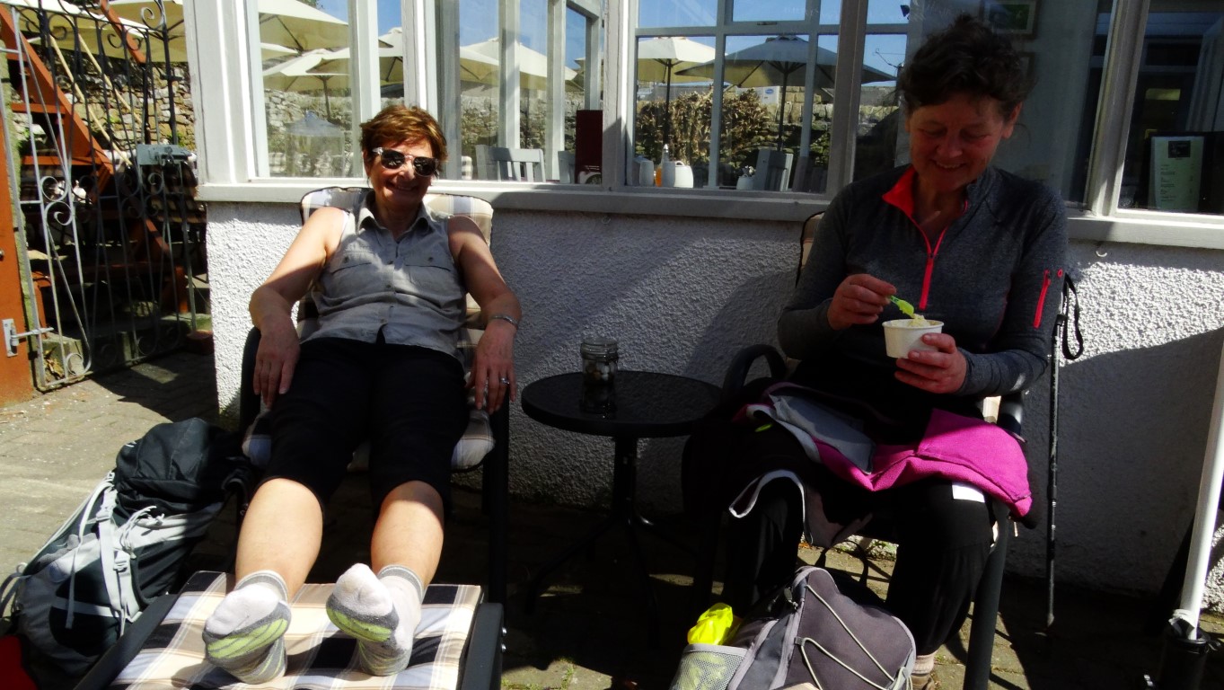
Relaxing at the end of a walk with a ice cream and a cup of tea, complete with footrests. Courtyard Tearooms, Hope

Group walk report 17th April

At the Magpie Mine, Sheldon

Brian Griffiths recently led the East Cheshire ramblers on a walk exploring the industrial past around Monyash and Sheldon. Starting out from Monyash the group headed north on field path passing Hard Rake a nature reserve which has some rare limestone loving plants in season.

After crossing a road we made a descent through Deep Dale where there were many cowslips and at the foot we stopped for our morning break.
To get to Sheldon it meant a steep ascent up a wooded valley before crossing more fields to reach this former mining village.

From Sheldon it was just a short walk to reach the Magpie Mine which was our stopping point for lunch. Afterwards Brian gave us a potted history of the mine. The Magpie Mine commenced operation in 1740 and was one of several mines in the area. Right from the start there was an issue with stopping the mine from flooding and by 1824 a Newcomen type engine was installed to keep the main shaft free of water. In 1827, 800 tons of lead was extracted, a record which stood until 1871 but the mine was always dogged with disputes with other nearby mines and sometimes fires were lit underground to smoke rival miners out, but this resulted in three miners being suffocated by fumes in 1839. In 1839 the famous Cornish mine engineer John Taylor was brought in to re-open the Magpie Mine and introduce a number of improvements and deepened the main shaft to 208 metres. New pumping engines were installed but water seepage remained a major problem. In 1873 a drainage channel was cut through the rock to take water away to the River Wye some two kilometres away but this proved very time consuming and costly.

For the afternoon we headed south via field paths and lanes and later descended to Lathkill Dale. Turning right, we headed upstream beside the crystal clear water which further up the valley was emerging from a cave system. En-route we stopped for an afternoon break and afterwards the group made our way back to Monyash stopping for afternoon tea in the village.

At the Magpie Mine, Sheldon