Take a look at any 1;50,000 or 1;25,000 scale Ordnance Survey map of Great Britain and in England and Wales and you will see each map criss-crossed with hundreds of red dotted or green dotted lines representing footpaths but if you study a similar map of Scotland then these familiar dotted lines are absent. Only a small selection of paths are marked such as the West Highland Way or the Southern Uplands Way.
There is a freedom to roam in Scotland which means that within reason you are allowed to wander almost anywhere which in the mountainous areas is not a problem except during the stalking season but what if you want to walk in lowland Scotland where the scenery is more reminiscent to rolling English countryside with fields. Well help is now at hand.
On my wanderings in different parts of Scotland in the past few years I have come across many signed paths, but where do they lead? They are not on the Ordnance Survey map and following any such path may lead me off in a direction I don’t want to go.
In the last few years, each Scottish county authority have made available maps showing these paths and they are generally known as ‘core paths’ and these can be found on the appropriate council’s website.
The best way to find these paths is by going on the Scottish Natural Heritage website as a starter.
www.snh.gov.uk/enjoying-the-outdoors/where-to-go/routes-to-explore/local-path-networks/ brings up a list of Council authorities where the path network can be accessed. Click on any county area on the list and by following instructions, footpath information can easily be obtained. (The method for accessing information for each county varies and some areas need to be downloaded).
As an example I have selected ‘Angus’. A column of maps will be displayed and by clicking on the ‘Overview map’ the county key map can be downloaded. As an example I have selected Map 10a to download which will bring up all the paths in the Forfar area.
Visiting this area earlier this summer I decided to see how easy it was to follow these paths and my walk started out from the eastern end of the Loch of Forfar where I undertook an anticlockwise walk following paths 305, 303, 302, 301, 300, 297, 298, 294 and 295 and back through Forfar to my starting point.
Following the northern shore of the Loch of Forfar, I headed west towards the A90 bypass before heading south southeast to Halkerton and returning over Balmashammer Hill which is crowned by a fine war memorial. As for the state of the paths, I found that they were all very good underfoot and at almost every path junction there were pointer signs with mileages displayed and so my overall impression was favourable. So next time you visit Scotland why not take a look at the area you are visiting on the above mentioned website and try some of the paths out there awaiting to be walked – you won’t be disappointed.
As a footnote, the website
www.walkhighlands.co.uk provides a couple of thousand walks not only in the Scottish Highlands but in the whole of Scotland that can be downloaded for maps and instructions and the walks range from less than a mile to very long treks and hence suit all needs.

The Loch of Forfar, starting point for my walk. My route took me along the right hand side of the loch.

Path 300 to the west of Forfar.

Core path junctions 300 & 301 at Halkerton showing the way-marking .

Core path 298 on the approach to Balmashammer Hill.

If you didn't know that these paths existed then you would probably not visit this fine war memorial which stands on Balmashammer Hill overlooking Forfar

Walk guide leaflets can be picked up form many local Tourist Information Centres in the area.

An example of a leaflet showing paths around Forfar.




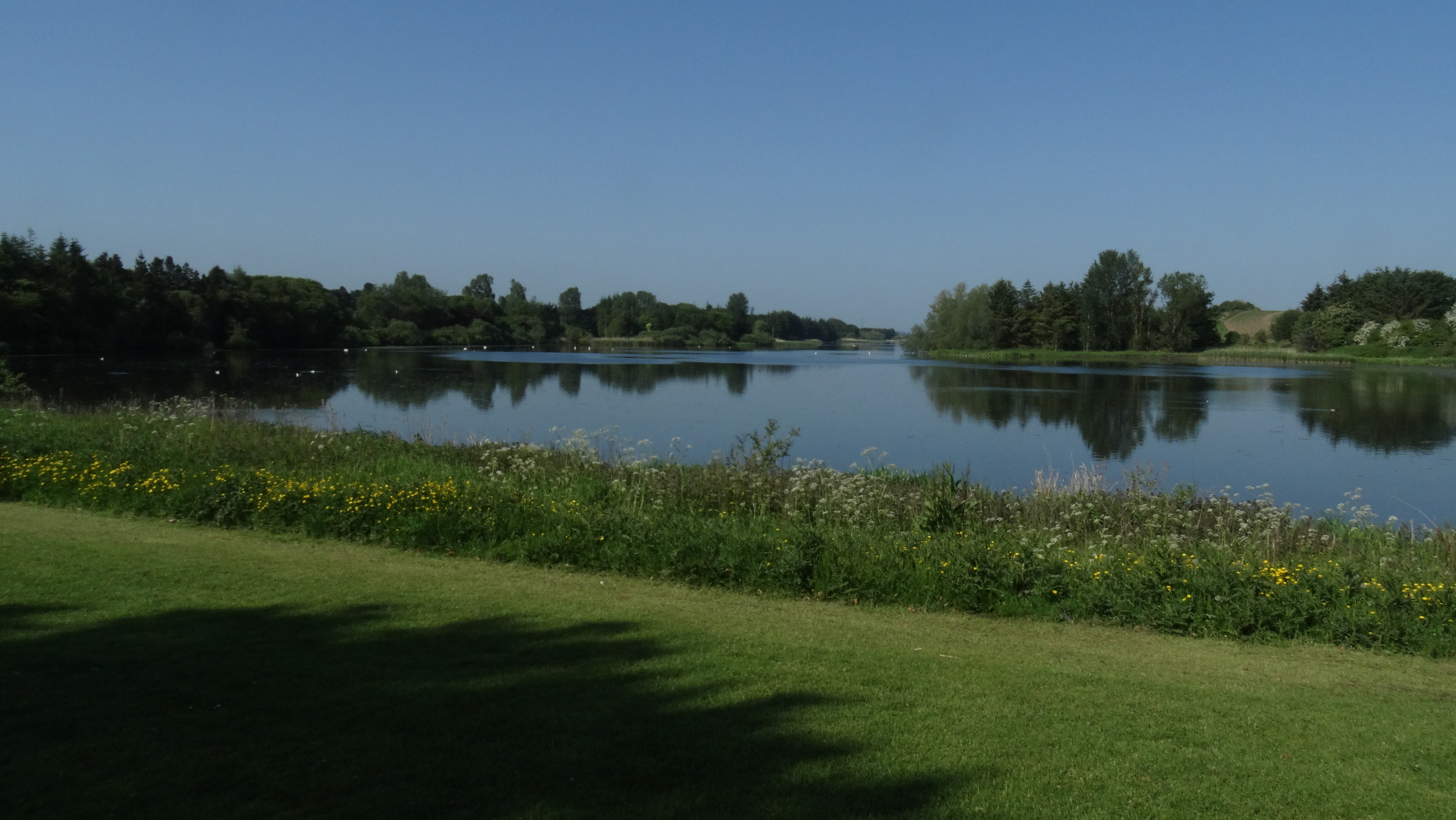 The Loch of Forfar, starting point for my walk. My route took me along the right hand side of the loch.
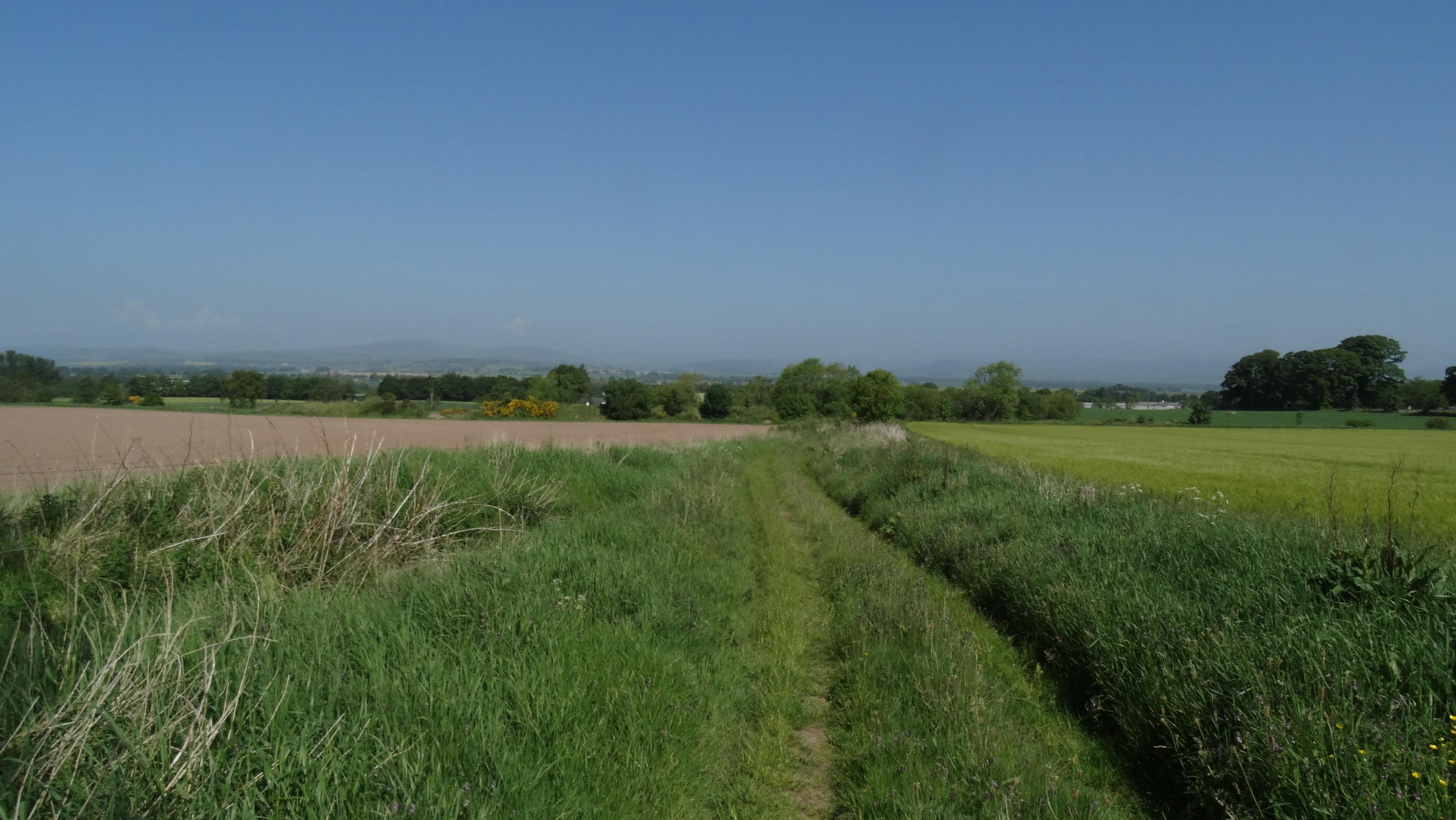 Path 300 to the west of Forfar.
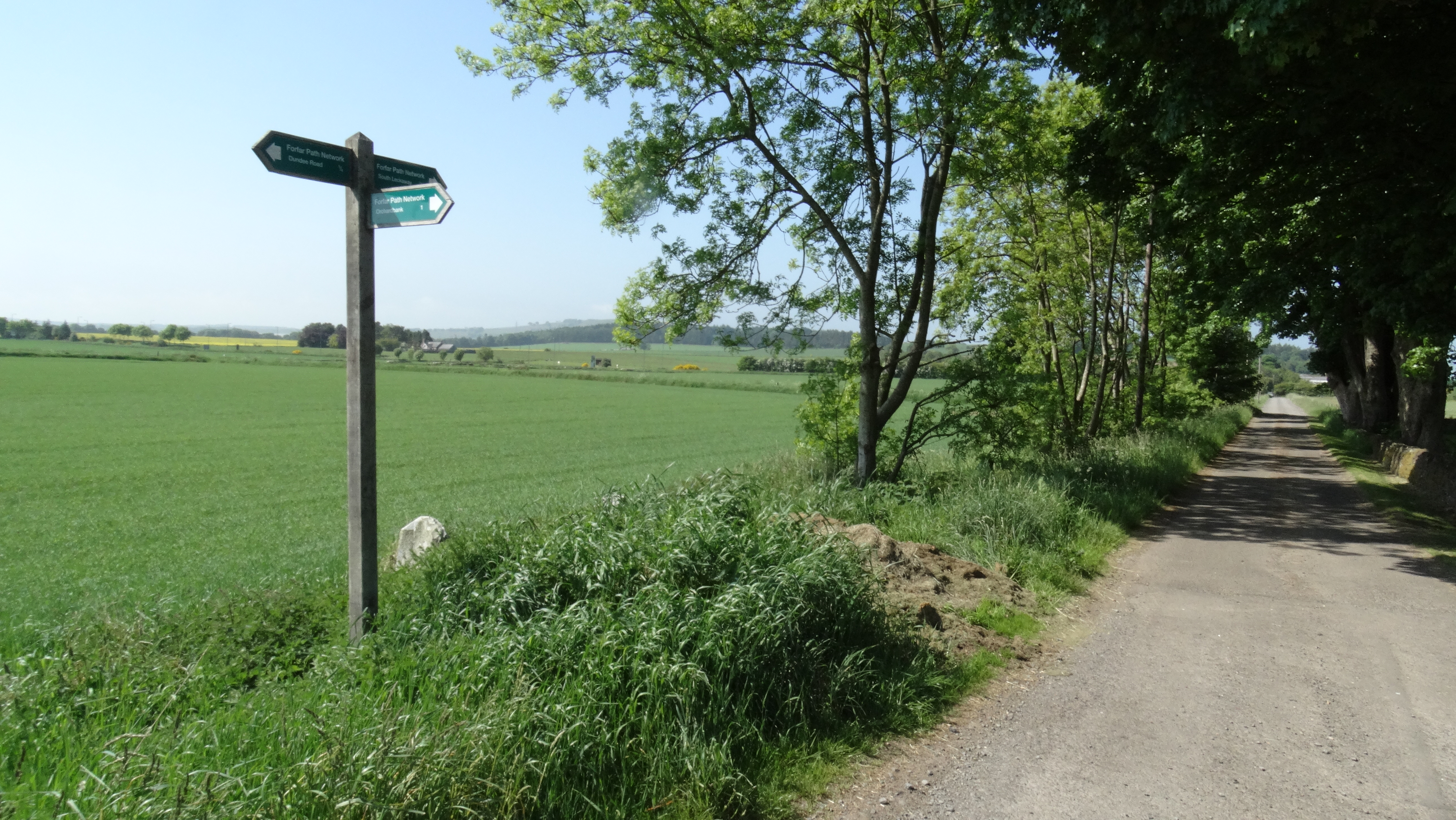 Core path junctions 300 & 301 at Halkerton showing the way-marking .
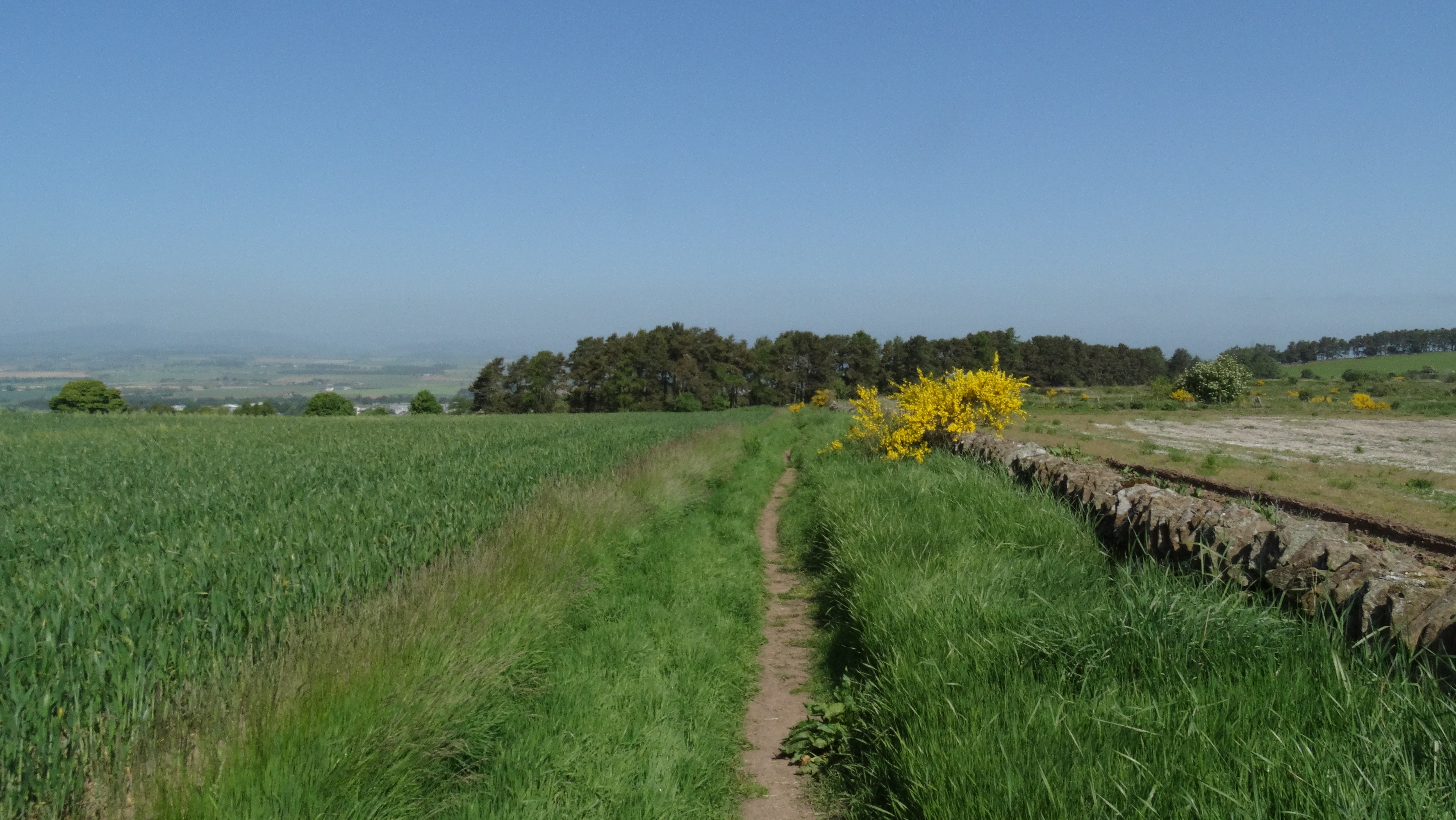 Core path 298 on the approach to Balmashammer Hill.
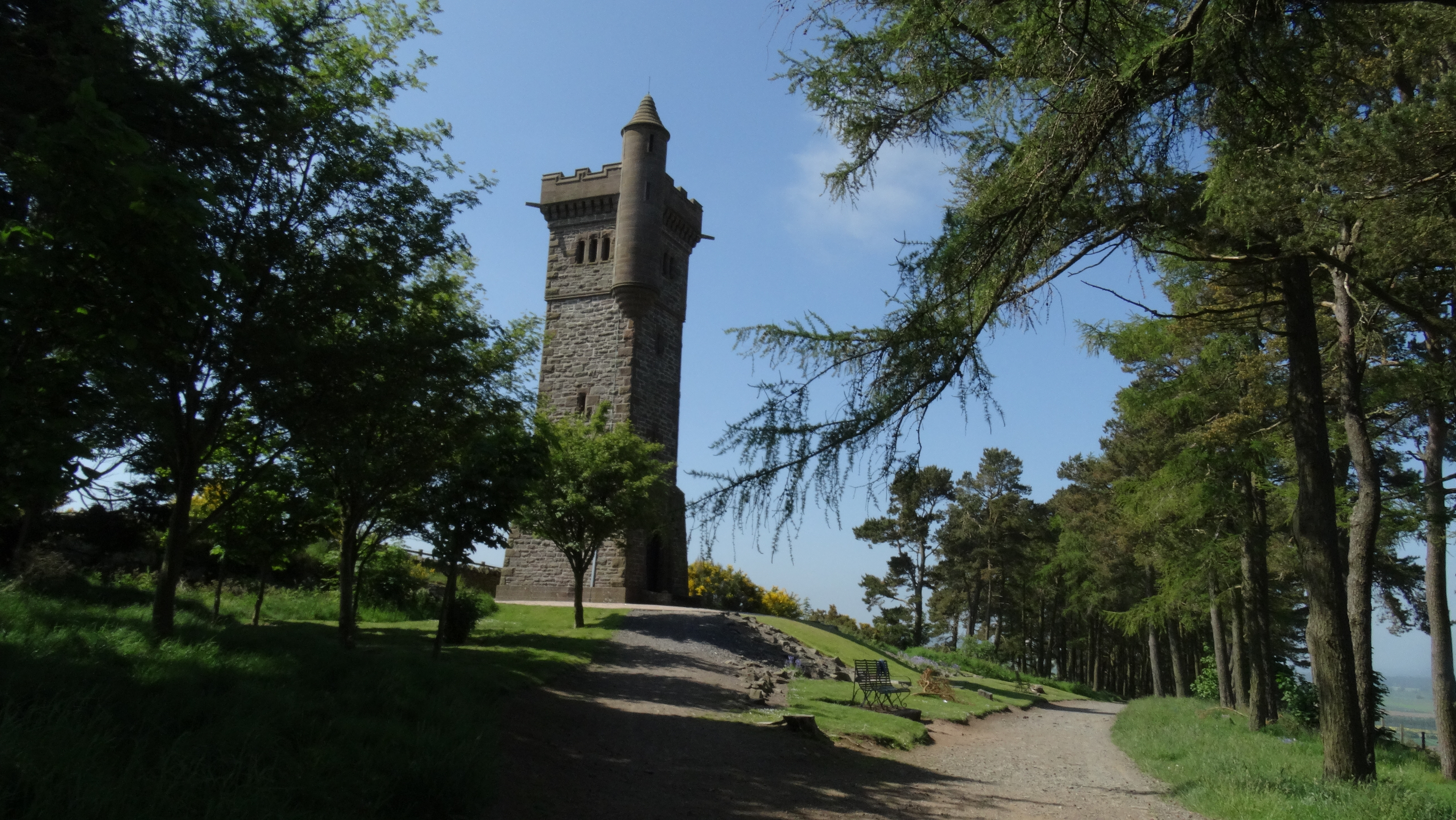 If you didn't know that these paths existed then you would probably not visit this fine war memorial which stands on Balmashammer Hill overlooking Forfar
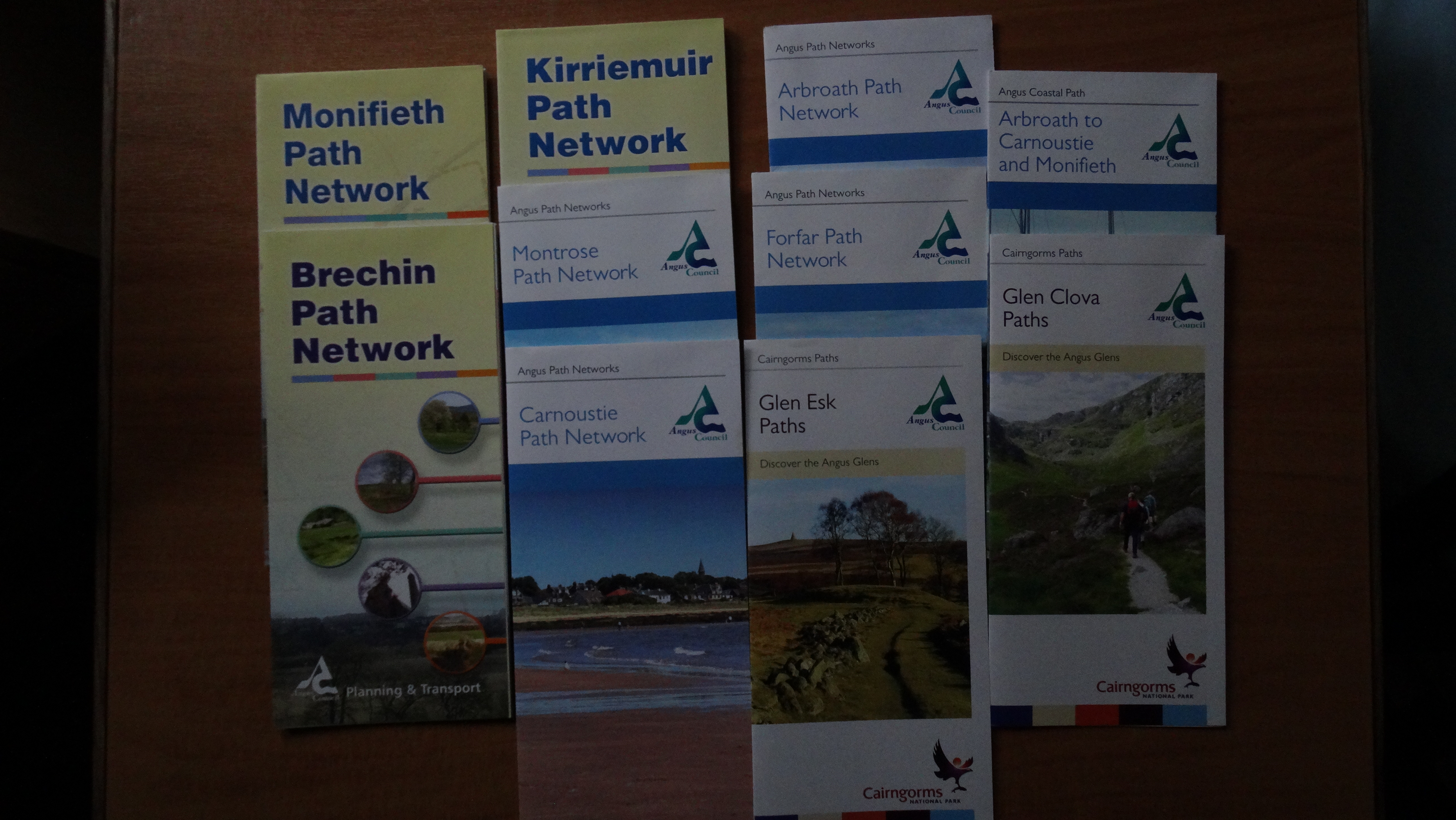 Walk guide leaflets can be picked up form many local Tourist Information Centres in the area.
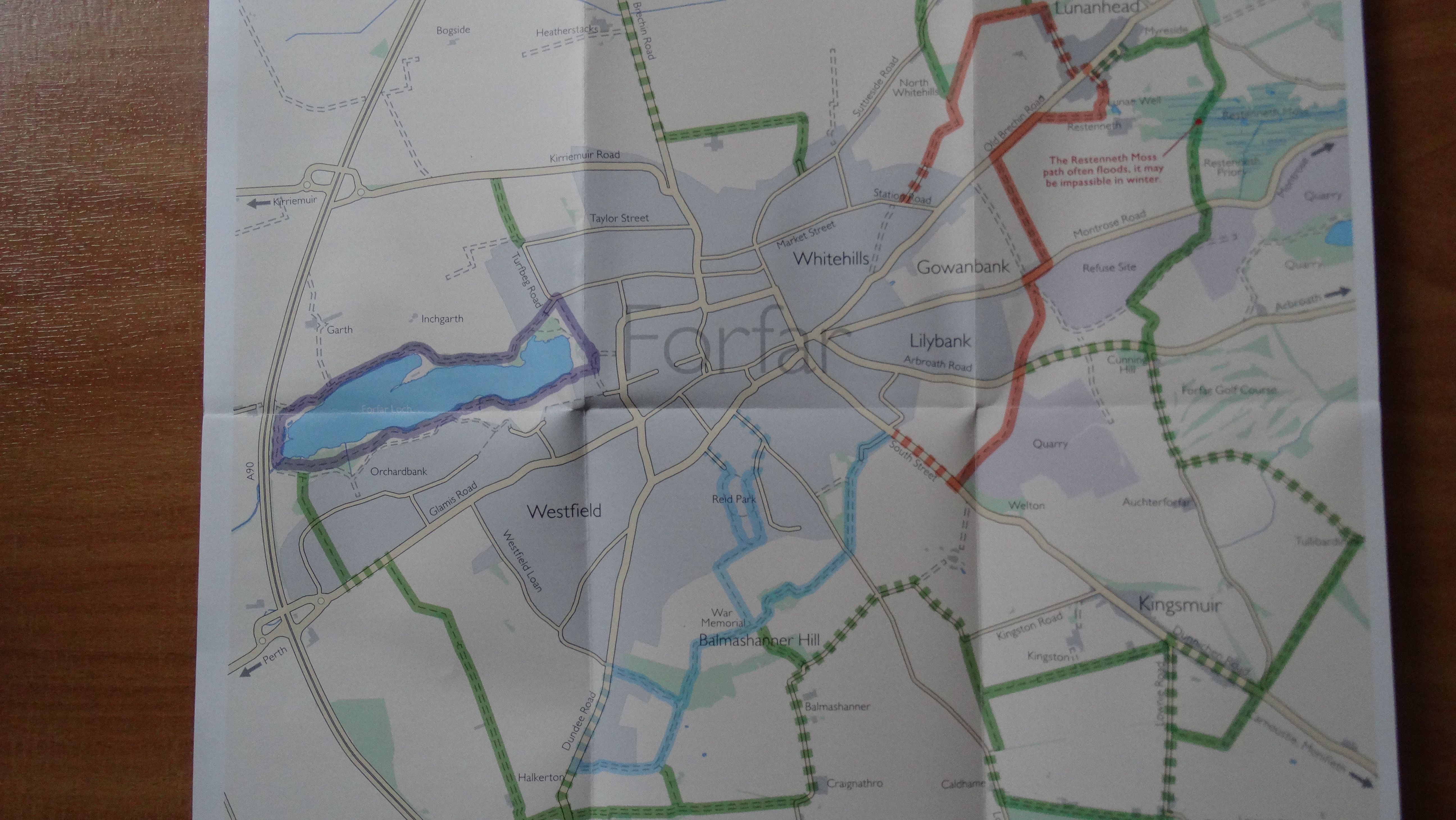 An example of a leaflet showing paths around Forfar.


