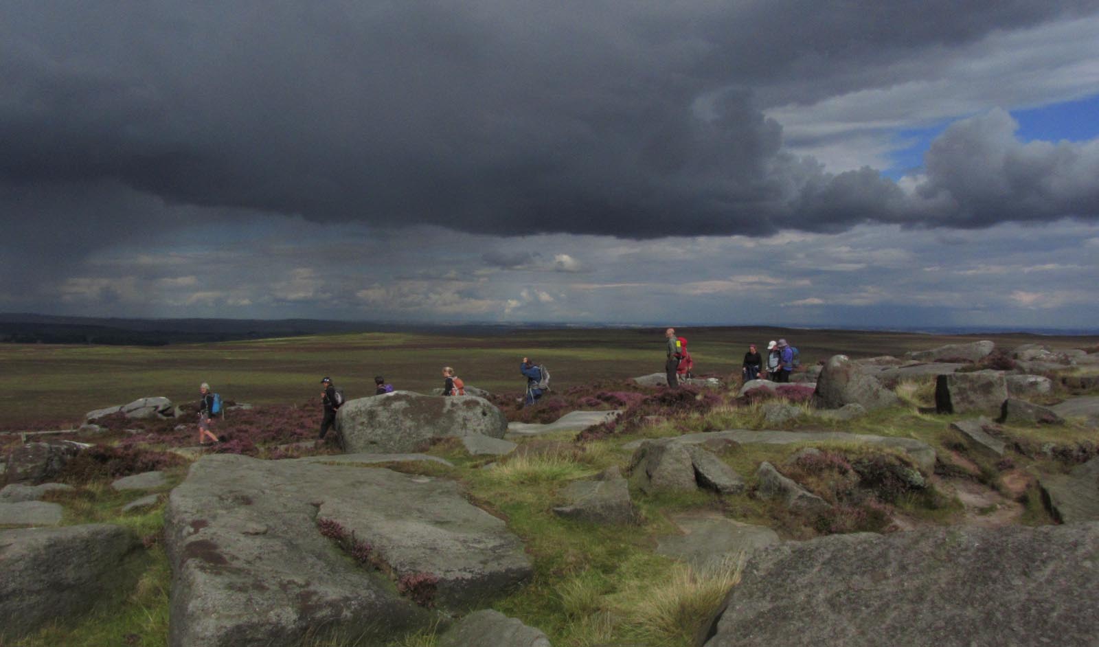
PLAGUE VILLAGE AND STARTLING ROCK FORMATIONS

On Frogatt Edge

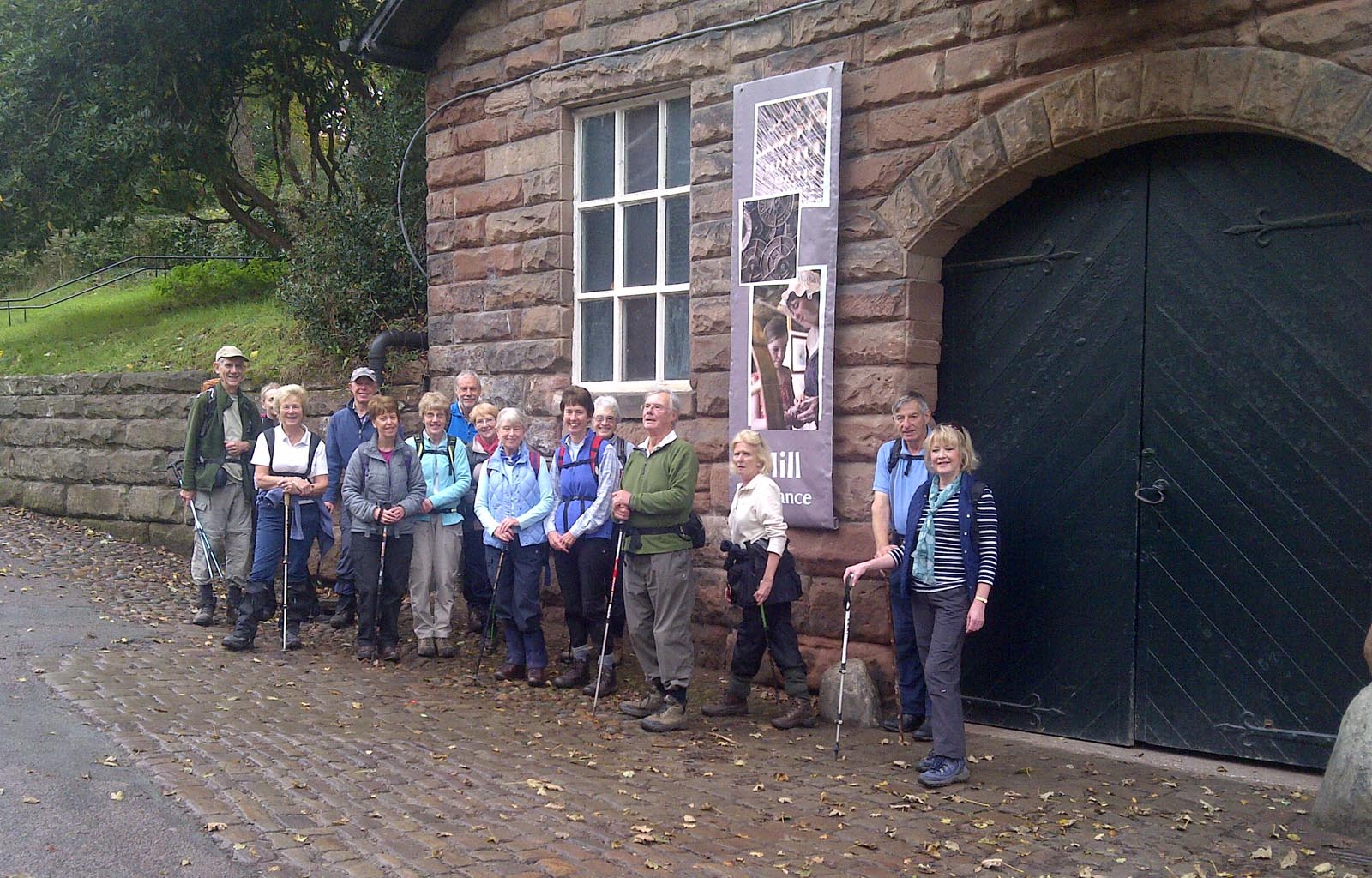
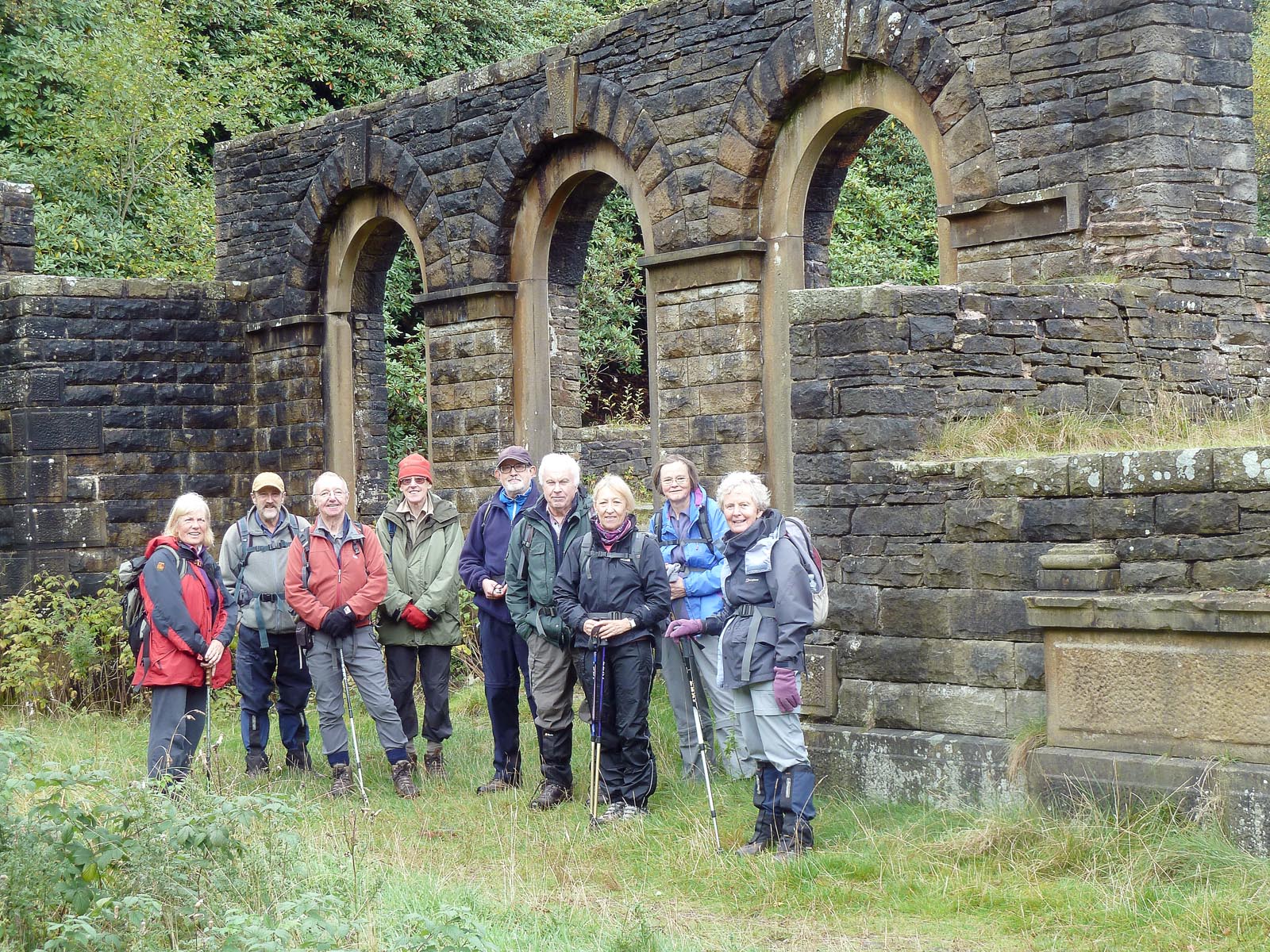
Eyam, a picturesque village in the Derbyshire Dales, was the start point of a recent walk by eighteen East Cheshire Ramblers. Known as the “plague village”, Eyam is famed for the fortitude of its villagers, who isolated themselves to reduce spread of the bubonic plague outbreak there in 1666.

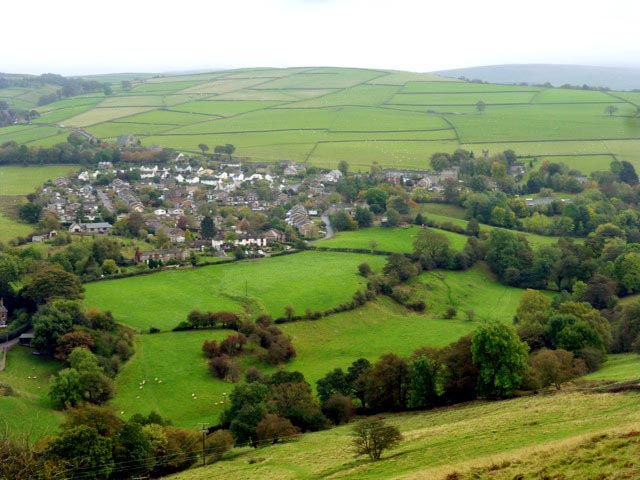
Fortunately, the downpour that greeted the walkers on arrival in the car park ceased by the time they set off, led by Ken Hobbs, to climb past a herd of bedraggled alpacas to Eyam Moor. Low cloud obscured their expected vista, but occasionally the sun broke through to throw a spotlight on the village of Hathersage below.

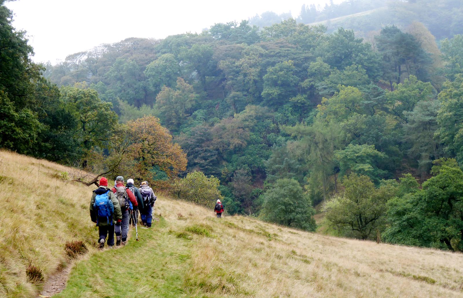
Beyond Stoke Ford, the cloud lifted and they enjoyed a vista of Highlow Wood opposite, and a glimpse of the sun shining on Stanage Edge and Higger Tor in the distance. Soon they passed the charming 17th century Hazelford Hall, a Grade II listed building, then dropped down to cross the swollen Derwent at Leadmill Bridge. After walking alongside the river through Coppice Wood, they began to climb and enjoyed lunch overlooking the river and woods beyond

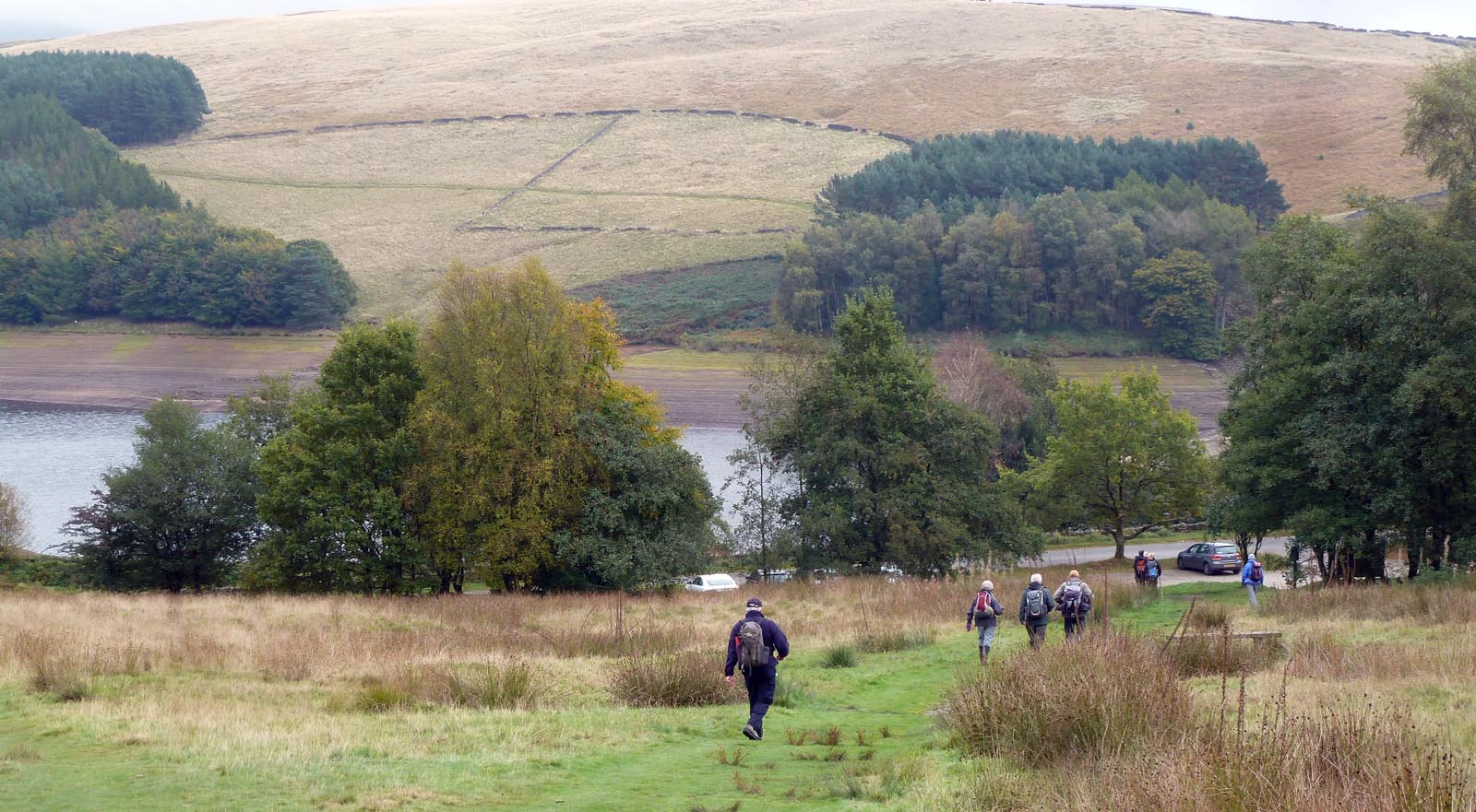
They continued to Grindleford Station before climbing up through the National Trust Hay Woods, accompanied by the sound of cascading streams. On reaching Froggatt Edge the ramblers were rewarded by views of startling rock formations, backlit by a low sun breaking through clouds. There followed a zigzag scramble downwards through Bee Wood to Froggatt Bridge, also dating from 17th century, where they re-crossed the Derwent.

Finally, they climbed from the river to pass “Riley Graves”, the resting place of John Hancock and six of his children who died within a week from the plague. Eyam Church clock was striking three as the ramblers passed by to complete their 11.5 mile walk.

Ken Hobbs

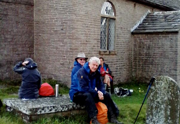
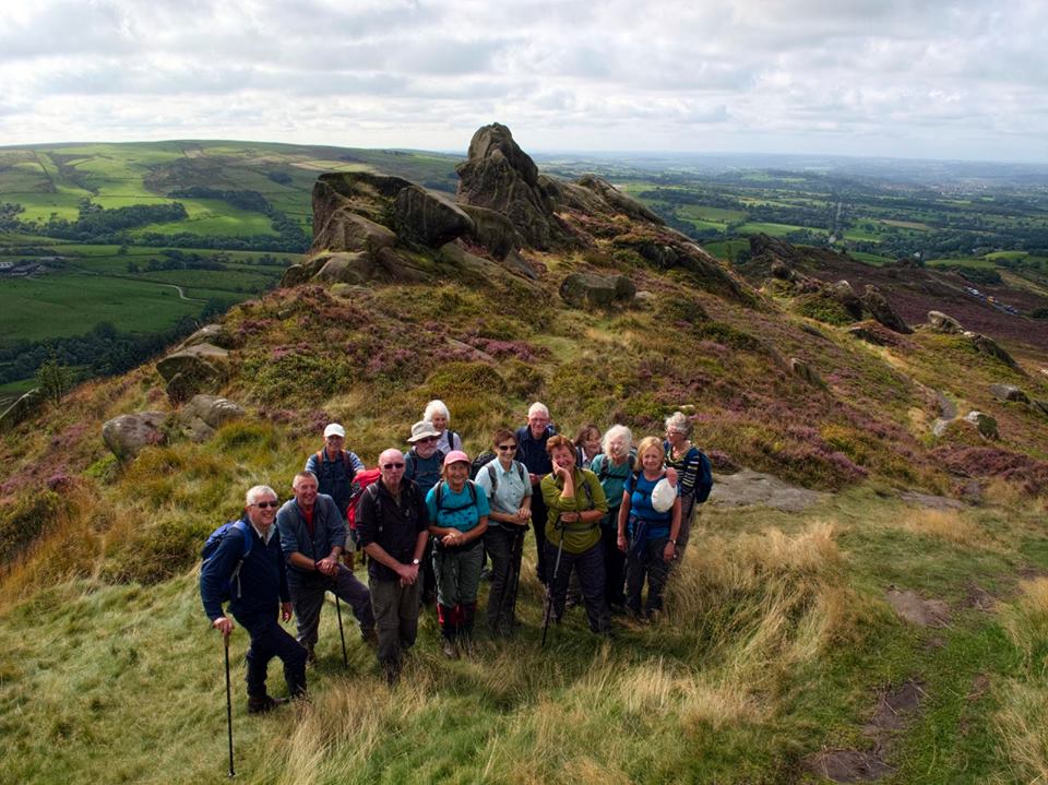
Admiring the view to Higger Tor at break time


TIDESWELL & ‘THE CATHEDRAL IN THE PEAK’

Outside ‘The Cherry Tree’ cafe in Tideswell

Fifteen East Cheshire Ramblers recently enjoyed a 10 mile walk which started in the pretty Derbyshire village of Tideswell.  The village is one of the most ancient settlements in the central Peak District and was recorded in the Domesday Book. However, Tideswell is perhaps best known for its magnificent 14th-century church. The Church of St John the Baptist- often referred to as “The Cathedral of the Peak”, was built on the wealth created when the village was the centre of the wool trade and lead mining in the region, the latter very much in evidence on the walk.

Coffee break on the ‘spoil heaps’ at Tideslow Rake with views towards Abney Moor and Castleton

The leader, Caroline Finlayson, chose a route, which climbed steadily out of the village along narrow lanes and tracks onto Tideswell Moor.  On reaching the prominent TV mast the path meandered through a worked-out lead rake – or mineral vein – known as Tideslow Rake.   This is an outstanding example of an opencut working of lead veins and is of considerable archaeological, historical and ecological value. It is also a great place to stop for a coffee break and enjoy the views towards Castleton and Abney Moor. The walk then continued through the White Peak villages of Little Hucklow, Great Hucklow, Grindlow and Wardlow Mires.

Later, their path entered Cressbrook Dale and passed the dominant limestone pillar known as Peter’s Stone.  The stone stands in an area known as Gibbet Field, infamous as the place where the last gibbeting took place in the early 1700s.  Walking through an area of such magnificent natural beauty it is hard to imagine the area’s dark history but gave an added thrill as they passed by.

Finally the Ramblers returned to Tideswell, pausing as they walked downhill into the village to admire the pointed architecture of ‘The Cathedral of the Peak’ before heading into one of the local cafes for a well earned cuppa!

Caroline Finlayson

‘The Cathedral of the Peak’


RAMBLERS COMMEMORATE ARMISTICE AT ST. THOMAS’ CHURCH

Outside Mellor Church looking towards Mellor and Greater Manchester

St Thomas’ Church in the parish of Marple and Mellor is a fine, stone, grade II listed building. It contains a 12th Century Norman font and the oldest wooden pulpit in England, dating from the time of Edward II. Over the centuries, walls have been rebuilt, a tower and porch added, galleries constructed and then demolished, and the roof replaced. More recently, the screen was moved from the front of the nave to the rear creating a new chapel at the west end, and a new organ was installed in 1977.

The Church was the setting for two minutes silence, when sixteen East Cheshire Ramblers commemorated Armistice Day on a recent eight and a half mile walk, led by Ann Thompson.

Starting near Hague Bar, and following tracks and paths on the Goyt Way towards Brook Bottom and Mellor, the walkers completed most of the walk’s 1,200 ft of ascent in the first twenty minutes! Their efforts were rewarded by a lovely view south towards Disley and the Macclesfield canal. With impeccable timing, they reached the south side of St Thomas’ Church just before 11 o’clock. Their silent reflections ended appropriately with chiming of the church clock, and were followed by a coffee break, enjoying the view over Mellor and Greater Manchester. At the nearby archaeological site, they learned that the Romans had introduced some features typical of an English garden, including roses, lilies, box hedging and lavender – and the common snail!

The weather was rather dull with occasional drizzle, but this didn’t dampen the spirits of the enthusiastic rambler group, as their onward route took them to the village of Thornsett, where they descended picturesque stone steps between houses, and onto the Sett Valley trail. They continued to the Torrs Riverside Park, with its amazing gorge and the Torrs community owned and funded hydro-electric scheme. Past old mills, and along the impressive Millennium Walkway on stilts above the River Goyt, the walk finished along the river path back to Hague Bar.

Shan Bristow

Walking along the Millennium Walkway


Ramblers, Reservoirs and Romans

Lunchtime at the cricket ground below the village of Heights

On a recent sunny Saturday, thirteen East Cheshire Ramblers met for a 12-mile walk from Uppermill – a small town in Saddleworth and the starting point for some excellent walking. It’s just less than an hour from Wilmslow or Macclesfield, yet many members of our group had never been there before. This was an opportunity to open their eyes to the delights of the area, with a varied walk chosen from “Rambles around Manchester” written by Mike Cresswell.

Revising Roman history at Castleshaw

We began by walking along Uppermill’s main road and soon peeled off along the towpath between the River Tame and Huddersfield Narrow Canal. Our route took us over Wharmton Hill with panoramic views of the Diggle and Chew valleys and onward to Bishop Park and its monument. From here, our destination was the redundant 18th-century church at Heights, but there was a large black bull in the field ahead of us. As he was staring intently at us, we wisely decided to make a detour. When we arrived in the churchyard at Heights, a camera crew was filming a scene for a gothic drama. They would say no more!

From Heights, we walked past restored weavers’ cottages, headed towards Castleshaw and its reservoirs and, of greater interest, to the remains of a Roman fort. After reading the interpretation boards and basking in the sunshine for a while, it was down into another valley before our final climb of the day to Harrop Edge and back to Uppermill alongside the canal. But not before a break at the Lime Kiln cafe (a treat for ramblers – open until 7pm!).

Graham Beech

Discussing the finer points of the walk


A WALK TO THE CHAPEL IN THE FOREST

Signpost outside Snape House Farm above Rainow

As part of Bollington Walking Festival, East Cheshire Ramblers met at the bus terminus in Bollington for a twelve mile walk to Forest Chapel, led by David Gylee. Their route took them along part of the Gritstone Trail and then through Macclesfield Forest.

Forest Chapel, designated by English Heritage as a Grade II listed building, stands in a quiet position. The original chapel was built in 1673 but was almost entirely rebuilt in 1834. It is built in sandstone with a Kerridge stone-slate roof. Although the interior is very plain, the east window contains some fine Victorian glass. The Chapel registers begin in 1759 with some loose sheets dating back even earlier, to 1746.

Forest Chapel

Although the weather forecast was far from encouraging with an amber weather warning for whole of the North West, thirteen hardy souls duly arrived at the start point, well prepared and equipped for the expected wet and very windy weather.

In the event, the weather was surprisingly good in the morning and the route enjoyable. After the mainly uphill walk the group arrived at Forest Chapel where there was space to enjoy a welcome rest and picnic lunch.

Having arrived at the furthest point on the walk, the objective then was to return to Bollington using an alternative route, that took them past farms and through Rainow, which they had viewed from Kerridge Ridge above on their outward leg. Despite showers of rain, hail and a very strong wind nearby Snipe House Farm, – where there is a rather strange waymarking post! – the group returned safe and sound to their start point in Bollington. Indeed as a measure of their enthusiasm, two of the group were then enquiring about the next long 18 mile walk the following week-end!

David Gylee

Rainow Village from Kerridge Edge


RAMBLING THROUGH STYAL COUNTRY PARK

Ramblers beside Quarry Bank Mill shop

Quarry Bank Mill was built for cotton spinning by Samuel Greg in 1784, and half a century later it was the largest such business in the UK. The Mill, a Grade II listed building, is now a working museum of the cotton industry. It is part of Styal Country Park, an estate of approximately 500 acres which was given to The National Trust by the Greg family in 1939.

The Mill featured on a recent walk, when twenty two East Cheshire Ramblers (including Max, a Jack Russell) met at Twinnies Bridge, at the confluence of the Rivers Bollin and Dean. They enjoyed unseasonably warm weather and many put their jackets away for most of the walk.

The walkers followed a path alongside the Bollin, meandering through woodland to the Mill, then over cobblestones, before an easier tarmac drive took them past the footpath signed for Morley, – though walkers should beware the muddy fields on that shortcut!

At a National Trust sign “To the woods”, they turned left along a footpath that leads above Quarry Bank House and garden, acquired in 2006.

Continuing through the woodland, they again followed the picturesque river, but now in a westerly direction. They crossed several bridges and tackled steep flights of steps, leaving the river far below in a gorge, to reach their coffee stop, close to Giants’ Castle Bridge. As walk Leader, Gina Thompson, remarked “We are so lucky to have this on our doorstep. While walking through the woods you can forget the hum-drum of modern life.”

The ramblers left the woods to cross the busy A538 by the Britannia Hotel where their route took them through fields to Morley Green. There they re-crossed the A538 to join a track, which eventually led to Kings Road. Turning left here, they passed Wilmslow Rugby Club and took a track that brought them back to the start point. All agreed they had greatly enjoyed their 5 mile walk.

Gina Thompson

Ramblers near the Mill garden


RESERVOIRS, RUINS AND GREAT VIEWS IN THE GOYT VALLEY

The party at the ruins of Errwood Hall

Two reservoirs and the ruins of a grand Hall were notable features of a recent walk by East Cheshire Ramblers in the Goyt Valley, Derbyshire, one of the most attractive areas of the Peak District National Park.

Leader Sue Munslow explained that the Stockport Water Corporation built the two reservoirs to supply water to Manchester and Stockport’s growing conurbation during the 20th Century: Fernilee in 1938 and Errwood in 1967. Now owned by United Utilities, the reservoirs provide sailing, walking and fishing opportunities in an area surrounded by beautiful moorlands and woodlands. They have also enhanced the area’s biodiversity and increased the number of habitats for birds, fish and mammals. When the water level is low, traces of the hamlet of Goyts Bridge, where houses and farms were demolished to provide the water collection area, can still be seen. Here farming families lived and provided a tearoom for Victorian visitors on a day out from Buxton.

Below Foxlow edge, walking towards Errwood Hall

For their eight mile walk, ten Ramblers met at the car park near Errwood Hall. They enjoyed fantastic views around the reservoir as they walked northwards, and took a track through the forest above Fernilee Reservoir. The route took the group higher up the valley side to Taxal Edge, where the walking became easier on the moorland tops giving lovely views of the surrounding landscape. Later, they walked towards Pym Chair and returned down the valley by way of Foxlow Edge to Errwood Hall, which was built about 1840 by the wealthy Grimshawe Family. The last of the family died in 1930, and the Hall was demolished when the reservoir was built. Now in ruins the Hall illustrates a time of great grandeur, and is a favourite picnic spot. One of the group explained how a local family had opened up an old drift mine to provide a regular coal supply to the Hall. Another described the hard work in recent years by local rangers, removing rhododendrons, which had reduced wildlife in the area. Finally, they followed along the wooded sheltered valley track down and back to the car park.

Sue Munslow

Returning to the car park overlooking Errwood Reservoir


Sunshine and Showers for Rail Ramble

A recent outing by East Cheshire Ramblers began at Bamford station in Derbyshire when they caught the 09.30hr train to Dore & Totley on the south western outskirts of Sheffield for a 14-mile linear return walk led by Colin Park.

Waiting for the train at Bamford

Climbing steadily on steep, wooded slopes to enter Beauchief Park, the route then skirted around New Totley before ascending onto Totley Moor where the carpet of purple heather was at its best. On the far eastern horizon, Lincoln Cathedral could be clearly picked out in the fine, morning sun. Not that the fine weather was to last, unfortunately.

After a picnic lunch by Longshaw Lodge, the walk continued north below Burbage Rocks and up onto Stanage Edge where the group was obliged to quickly don waterproofs as the skies began to darken and showers swept in.

The party on Stanage Edge as storm clouds gather

Fortunately, the sun returned later in time for an afternoon break below North Lees Hall, a sixteenth century tower house which is believed to have been the inspiration for Thornfield Hall, Mr Rochester’s house in Charlotte Brontë’s famous novel, Jane Eyre.

The final part of the walk was along lanes and field paths, finally crossing Sicklehome Golf Course to arrive back at Bamford.

The Roaches Re-visited

At the top of Ramshaw Rocks

At the top of Ramshaw Rocks

Rising to a height of 1,666ft (505m) on the Staffordshire borders, the prominent gritstone ridge known as the Roaches (from the French les roches – rocks) has long been a favourite with walkers and climbers, not the least with East Cheshire Ramblers who made one of their regular visits there recently led by Frank Gay.

The curving escarpment, which extends for some 3.5miles from Back Forest in the north west to Hen Cloud in the south, once belonged to the Swythamley family but was bought by the Peak District National Park in 1980 order to protect its unique character and safeguard public access when the estate was broken up. Last year it was taken over by the Staffordshire Wildlife Trust.

Before tackling the ridge the walk took in other, less well-known outcrops, such as Ramshaw Rocks which formed a striking sight from the start point on the A53 and was the first big challenge.

Although first Frank explained that although the route was rocky in places and there was no serious scrambling, others were not convinced. However, they were soon compensated with magnificent views over the Cheshire Plain and the Staffordshire Moors.

“After heading across the moorland which was very boggy in places, we came to the Bald Stones – a popular area with those into the branch of climbing known as bouldering,” he said. “Our path now took us across Black Brook Nature Reserve, the habitat of curlew, short-eared owls and important moorland plants, before passing the rocky outcrop of Gib Tor.

“After lunch we had to negotiate our most challenging bog so far. Indeed, some of the party thought that flippers would have been a good idea,“ he added. “After this, the paths improved and we were soon at Roach End where, after a welcome ice cream from the van, we climbed up onto the ridge for more great views, including the Wrekin in Shropshire.“

Ralph’s Noughty Walk

The party gathered around their objective – indicating the exact spot with their poles

Ralph Atherton led 15 members of East Cheshire Ramblers on an 11 mile “noughty” walk from Padfield on Saturday 3 September. We are sorry to disappoint some readers, but this is not a spelling mistake and the ramblers did not walk in fetching combinations of boots, stockings and suspenders! No, this was a walk to discover the place on the moors north-west of Tintwhistle where four Ordnance Survey 100 km squares all meet and the grid reference locating the spot to the nearest metre is SE 00000 00000. It is not easy to locate this exact spot as it is not marked by a cairn or tracks through the heather, and a GPS is only accurate to about 5 metres so a ten zero reading has a short lifetime.

Looking at the fountain below Bottoms Reservoir at Tintwistle

The group set off from the car park at Padfield (very near to Sean Wood’s unique Laughing Badger gallery and bistro – but that is another story), near the start of the Longdendale Trail, just as the rain stopped at 10 am. Heading north we passed over the dam of Bottoms Reservoir, puzzled over the functions of the ornate reservoir waterworks before walking past Arnfield Reservoir into Swallow’s Wood nature Reserve with its picturesque lake and woodland. We continued north on the Pennine Bridleway and on reaching the moorland we were dazzled by the bright heather flowers with their beautiful perfume. Passing over the dam of Higher Swineshaw Reservoir we followed the leader’s GPS “GO TO” indicator and reached the “noughty” spot where one of the party actually managed to get all the noughts on his GPS and we celebrated with a group photo.

After lunch in the heather, we did an anticlockwise circuit of Harridge Pike returning to Higher Swineshaw via Walkerwood, Brushes and Lower Swineshaw Reservoirs. Thence to the ford at Ogden Clough where we enjoyed another sunny picnic alongside the rushing waters filled with overnight rain. Continuing through Arnfield Farm and Tintwhistle to Bottoms Reservoir we were delighted to see that the puzzling waterworks were spouting a 40 foot fountain, spectacular with the sun shining through it. We completed the walk with a clockwise circuit of Bottoms Reservoir, crossing over the dam of Valehouse Reservoir, and arriving back at the car park at 4 pm. Here we had an unexpected treat. One of our number announced it was his 65th birthday and he would treat us all to tea and cake at the Old House near Torside.

A good walk full of interest, good weather and conviviality – and if you were counting – seven reservoirs.