Outside ‘The Cherry Tree’ cafe in Tideswell
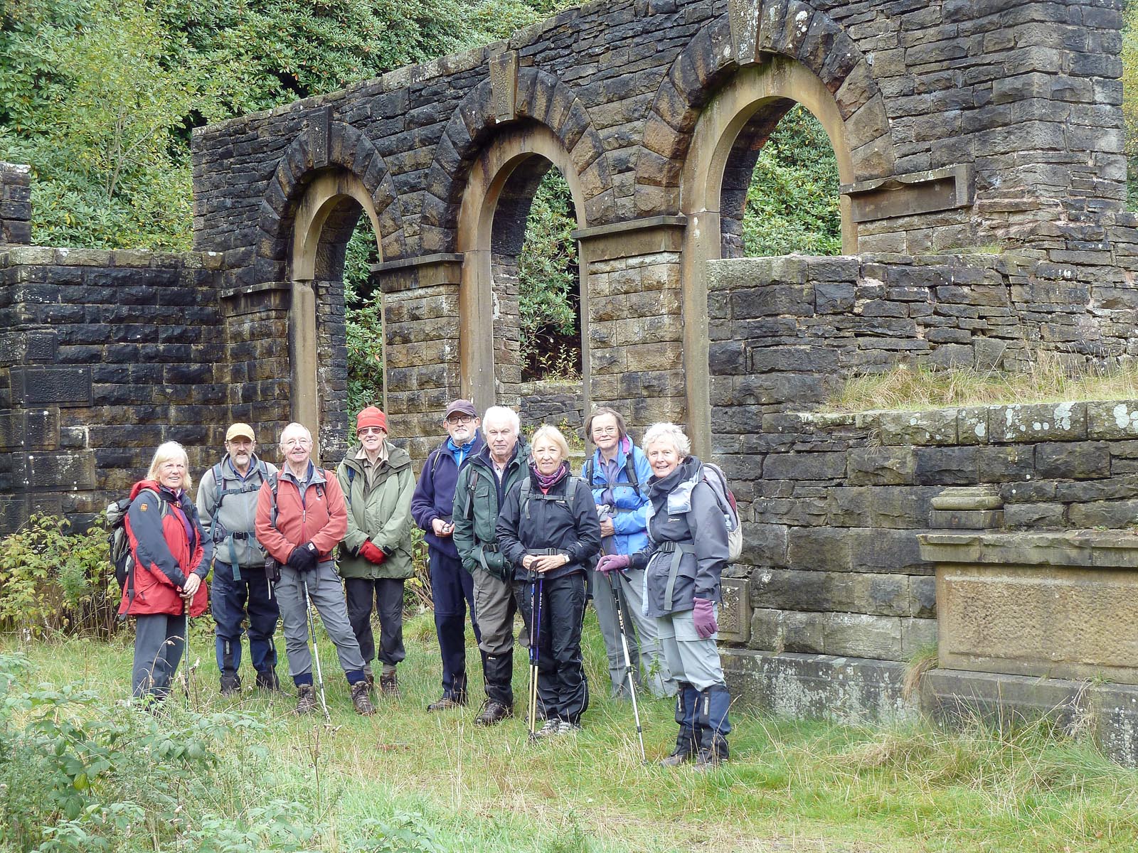
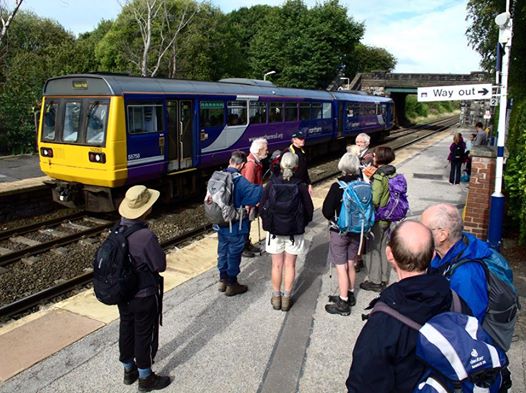
Fifteen East Cheshire Ramblers recently enjoyed a 10 mile walk which started in the pretty Derbyshire village of Tideswell. The village is one of the most ancient settlements in the central Peak District and was recorded in the Domesday Book. However, Tideswell is perhaps best known for its magnificent 14th-century church. The Church of St John the Baptist- often referred to as “The Cathedral of the Peak”, was built on the wealth created when the village was the centre of the wool trade and lead mining in the region, the latter very much in evidence on the walk.
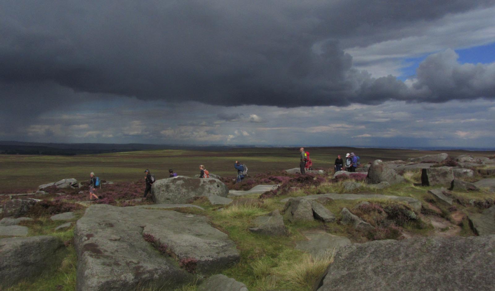
Coffee break on the ‘spoil heaps’ at Tideslow Rake with views towards Abney Moor and Castleton
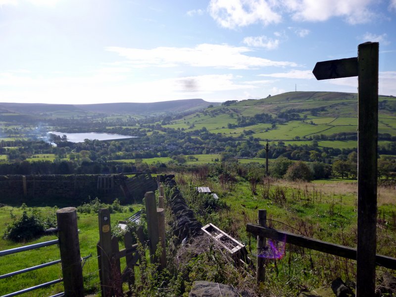
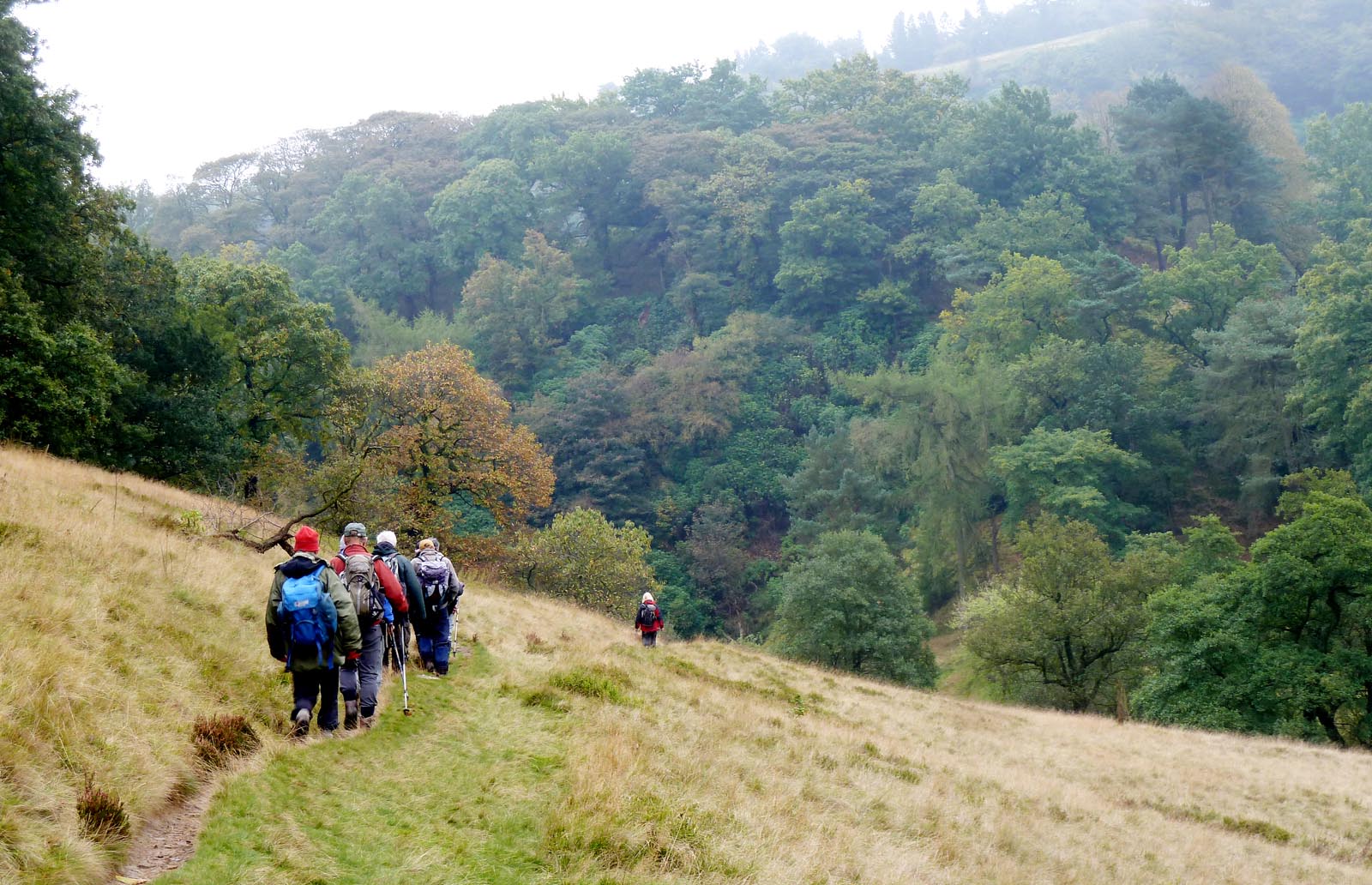
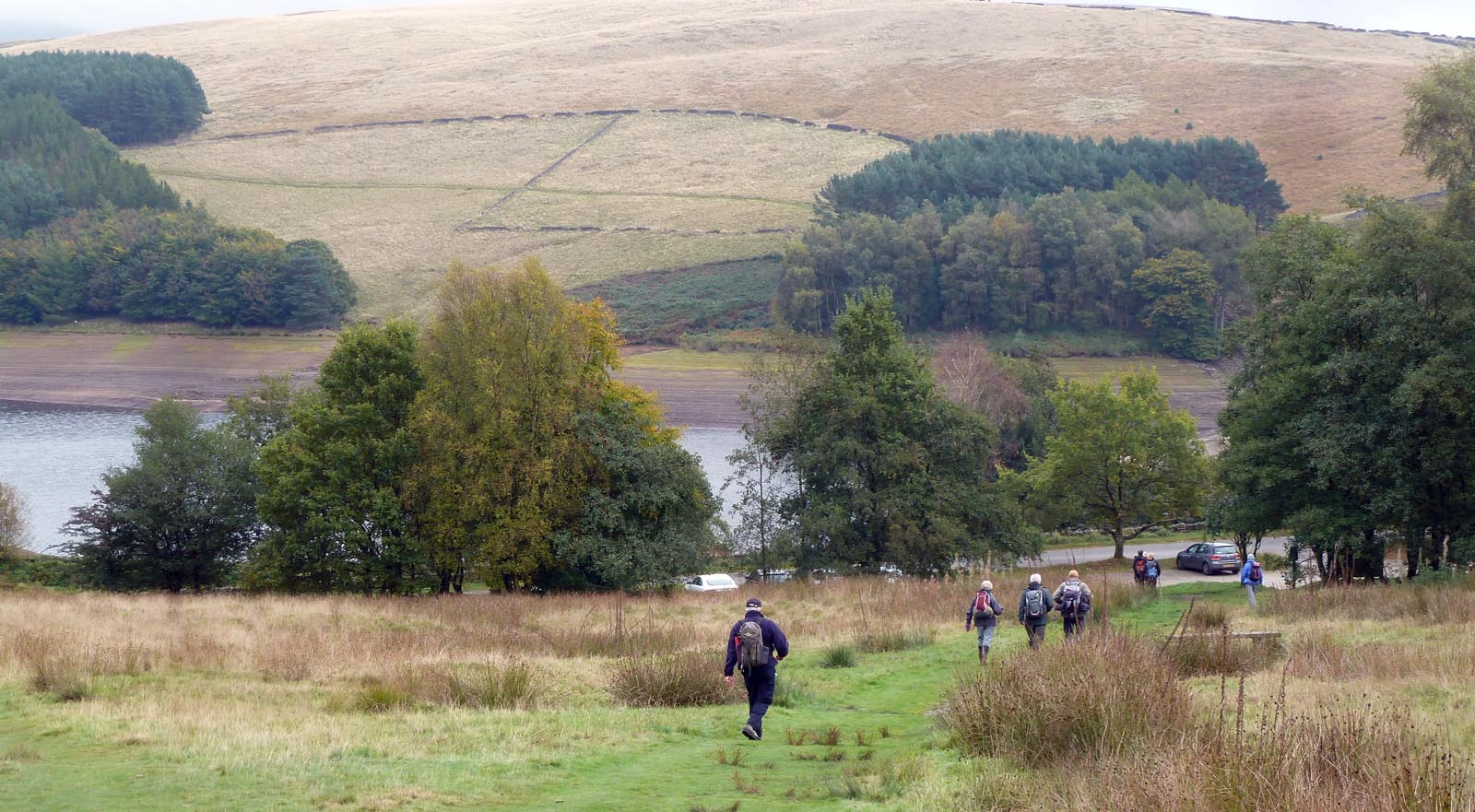
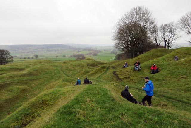
The leader, Caroline Finlayson, chose a route, which climbed steadily out of the village along narrow lanes and tracks onto Tideswell Moor. On reaching the prominent TV mast the path meandered through a worked-out lead rake – or mineral vein – known as Tideslow Rake. This is an outstanding example of an opencut working of lead veins and is of considerable archaeological, historical and ecological value. It is also a great place to stop for a coffee break and enjoy the views towards Castleton and Abney Moor. The walk then continued through the White Peak villages of Little Hucklow, Great Hucklow, Grindlow and Wardlow Mires.
Later, their path entered Cressbrook Dale and passed the dominant limestone pillar known as Peter’s Stone. The stone stands in an area known as Gibbet Field, infamous as the place where the last gibbeting took place in the early 1700s. Walking through an area of such magnificent natural beauty it is hard to imagine the area’s dark history but gave an added thrill as they passed by.
Finally the Ramblers returned to Tideswell, pausing as they walked downhill into the village to admire the pointed architecture of ‘The Cathedral of the Peak’ before heading into one of the local cafes for a well earned cuppa!
Caroline Finlayson
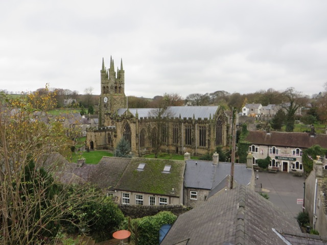
‘The Cathedral of the Peak’